Distance to Pelham, North Carolina

Calculating Your Route
Just a moment while we process your request...
Location Information
-
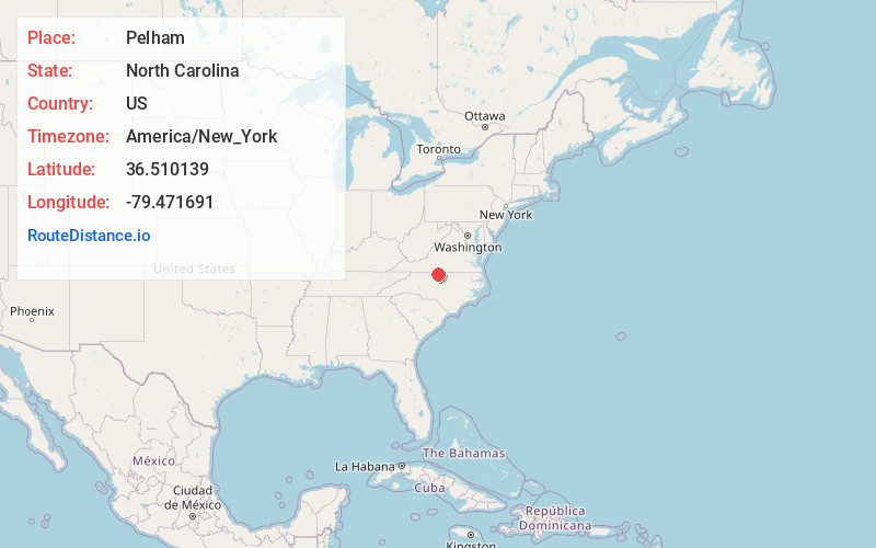
Full AddressPelham, NC 27311
-
Coordinates36.5101391, -79.4716908
-
LocationPelham , North Carolina , US
-
TimezoneAmerica/New_York
-
Current Local Time8:53:32 PM America/New_YorkThursday, June 19, 2025
-
Page Views0
About Pelham
Pelham is an unincorporated community in northwestern Caswell County, North Carolina at the North Carolina–Virginia border. Pelham is located along Pelham Loop Road near the eastern terminus of NC 700 at US 29.


Nearby Places
Found 10 places within 50 miles

Whitetown
2.4 mi
3.9 km
Whitetown, NC 27311
Get directions
Park Spring
4.5 mi
7.2 km
Park Spring, NC 27311
Get directions
Pleasant Grove
4.9 mi
7.9 km
Pleasant Grove, Danville, VA 24541
Get directions
Providence
5.6 mi
9.0 km
Providence, NC 27315
Get directions
Ruffin
5.9 mi
9.5 km
Ruffin, NC
Get directions

Danville
6.8 mi
10.9 km
Danville, VA
Get directions
Wallace Mill
6.9 mi
11.1 km
Wallace Mill, NC 27315
Get directions
West Yanceyville
8.6 mi
13.8 km
West Yanceyville, NC 27379
Get directions
Happy Home
8.8 mi
14.2 km
Happy Home, NC 27326
Get directions

Yanceyville
10.5 mi
16.9 km
Yanceyville, NC
Get directions
Location Links
Local Weather
Weather Information
Coming soon!
Location Map
Static map view of Pelham, North Carolina
Browse Places by Distance
Places within specific distances from Pelham
Short Distances
Long Distances
Click any distance to see all places within that range from Pelham. Distances shown in miles (1 mile ≈ 1.61 kilometers).