Distance to Pelham, Massachusetts

Calculating Your Route
Just a moment while we process your request...
Location Information
-
Full AddressPelham, MA
-
Coordinates42.3921236, -72.4034089
-
LocationPelham , Massachusetts , US
-
TimezoneAmerica/New_York
-
Current Local Time10:09:47 AM America/New_YorkSaturday, June 28, 2025
-
Website
-
Page Views0
About Pelham
Pelham is a town in Hampshire County, Massachusetts, United States. The population was 1,280 at the 2020 census. Its ZIP Code is shared with Amherst.
Pelham is part of the Springfield, Massachusetts Metropolitan Statistical Area.


Nearby Places
Found 10 places within 50 miles

Shutesbury
4.5 mi
7.2 km
Shutesbury, MA
Get directions

Leverett
6.5 mi
10.5 km
Leverett, MA
Get directions

Belchertown
7.7 mi
12.4 km
Belchertown, MA 01007
Get directions

Hatfield
9.9 mi
15.9 km
Hatfield, MA
Get directions

Hadley
10.1 mi
16.3 km
Hadley, MA
Get directions

Sunderland
10.3 mi
16.6 km
Sunderland, MA
Get directions

Hardwick
10.8 mi
17.4 km
Hardwick, MA
Get directions

Granby
11.0 mi
17.7 km
Granby, MA
Get directions

Montague
12.0 mi
19.3 km
Montague, MA
Get directions

Ware
12.2 mi
19.6 km
Ware, MA 01082
Get directions
Location Links
Local Weather
Weather Information
Coming soon!
Location Map
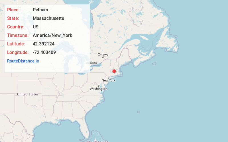
Static map view of Pelham, Massachusetts
Browse Places by Distance
Places within specific distances from Pelham
Short Distances
Long Distances
Click any distance to see all places within that range from Pelham. Distances shown in miles (1 mile ≈ 1.61 kilometers).