Distance to Pelland, Minnesota

Calculating Your Route
Just a moment while we process your request...
Location Information
-
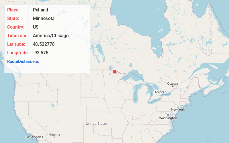
Full AddressPelland, MN 56649
-
Coordinates48.522778, -93.575
-
LocationPelland , Minnesota , US
-
TimezoneAmerica/Chicago
-
Current Local Time10:40:37 PM America/ChicagoThursday, June 19, 2025
-
Page Views0
About Pelland
Pelland is an unincorporated community in Koochiching County, Minnesota, United States, located along the Rainy River.
The community is located southwest of International Falls at the junction of U.S. Highway 71 and State Highway 11.
Pelland is located within Rainy Lake Unorganized Territory.

Nearby Places
Found 10 places within 50 miles

Laurel
4.6 mi
7.4 km
Laurel, MN 56649
Get directions
Nakoda
5.4 mi
8.7 km
Nakoda, MN 56649
Get directions
Littlefork
8.6 mi
13.8 km
Littlefork, MN 56653
Get directions
Loman
10.5 mi
16.9 km
Loman, MN 56654
Get directions
Ericsburg
11.4 mi
18.3 km
Ericsburg, MN 56669
Get directions

Ranier
12.1 mi
19.5 km
Ranier, MN 56649
Get directions
Lindford
12.2 mi
19.6 km
Lindford, MN 56653
Get directions
Indus
13.9 mi
22.4 km
Indus, MN 56623
Get directions
Wisner
15.6 mi
25.1 km
Wisner, MN 56653
Get directions
Ray
18.4 mi
29.6 km
Ray, MN 56669
Get directions
Location Links
Local Weather
Weather Information
Coming soon!
Location Map
Static map view of Pelland, Minnesota
Browse Places by Distance
Places within specific distances from Pelland
Short Distances
Long Distances
Click any distance to see all places within that range from Pelland. Distances shown in miles (1 mile ≈ 1.61 kilometers).