Distance to Ray, Minnesota

Calculating Your Route
Just a moment while we process your request...
Location Information
-
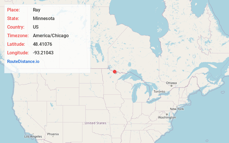
Full AddressRay, MN 56669
-
Coordinates48.4107604, -93.2104299
-
LocationRay , Minnesota , US
-
TimezoneAmerica/Chicago
-
Current Local Time10:44:50 PM America/ChicagoThursday, June 19, 2025
-
Page Views0
About Ray
Ray is an unincorporated community in Koochiching County, Minnesota, United States.
The community is located southeast of International Falls at the junction of U.S. Highway 53 and State Highway 217.
County Roads 3, 29, and 110 are also in the vicinity. The Rat Root River flows through the area.
Nearby Places
Found 10 places within 50 miles

Ranier
15.3 mi
24.6 km
Ranier, MN 56649
Get directions

Littlefork
15.9 mi
25.6 km
Littlefork, MN 56653
Get directions

Ash Lake
18.9 mi
30.4 km
Ash Lake, MN 55771
Get directions
Laurel
22.5 mi
36.2 km
Laurel, MN 56649
Get directions
Wisner
22.6 mi
36.4 km
Wisner, MN 56653
Get directions

Cusson
27.2 mi
43.8 km
Cusson, MN 55771
Get directions

Orr
30.2 mi
48.6 km
Orr, MN 55771
Get directions

Big Falls
31.3 mi
50.4 km
Big Falls, MN 56627
Get directions
Greaney
31.9 mi
51.3 km
Greaney, MN 55771
Get directions

Crane Lake
34.6 mi
55.7 km
Crane Lake, MN 55725
Get directions
Location Links
Local Weather
Weather Information
Coming soon!
Location Map
Static map view of Ray, Minnesota
Browse Places by Distance
Places within specific distances from Ray
Short Distances
Long Distances
Click any distance to see all places within that range from Ray. Distances shown in miles (1 mile ≈ 1.61 kilometers).