Distance to Pelsor, Arkansas

Calculating Your Route
Just a moment while we process your request...
Location Information
-
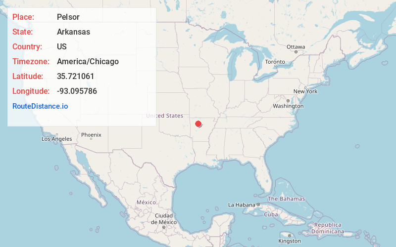
Full AddressPelsor, AR 72837
-
Coordinates35.7210609, -93.0957859
-
LocationPelsor , Arkansas , US
-
TimezoneAmerica/Chicago
-
Current Local Time10:16:26 PM America/ChicagoThursday, June 5, 2025
-
Page Views0
About Pelsor
Sand Gap is an unincorporated community in Freeman Township, Pope County, Arkansas, United States. Sand Gap is located at the junction of Arkansas highways 7 and 16.
Sand Gap used to be known as Grand Gap. The official Arkansas town name is Pelsor.


Nearby Places
Found 10 places within 50 miles

Victor
7.2 mi
11.6 km
Victor, AR 72686
Get directions
Simpson
8.0 mi
12.9 km
Simpson, AR 72837
Get directions

Fort Douglas
8.6 mi
13.8 km
Fort Douglas, AR 72839
Get directions

Deer
9.7 mi
15.6 km
Deer, AR
Get directions
Smyrna
11.0 mi
17.7 km
Smyrna, AR 72843
Get directions
Limestone
11.4 mi
18.3 km
Limestone, AR 72839
Get directions
Solo
11.9 mi
19.2 km
Solo, AR 72843
Get directions
Nail
13.2 mi
21.2 km
Nail, AR 72628
Get directions
Witts Springs
13.2 mi
21.2 km
Witts Springs, AR 72686
Get directions

Nogo
13.4 mi
21.6 km
Nogo, AR 72843
Get directions
Location Links
Local Weather
Weather Information
Coming soon!
Location Map
Static map view of Pelsor, Arkansas
Browse Places by Distance
Places within specific distances from Pelsor
Short Distances
Long Distances
Click any distance to see all places within that range from Pelsor. Distances shown in miles (1 mile ≈ 1.61 kilometers).