Distance to Witts Springs, Arkansas

Calculating Your Route
Just a moment while we process your request...
Location Information
-
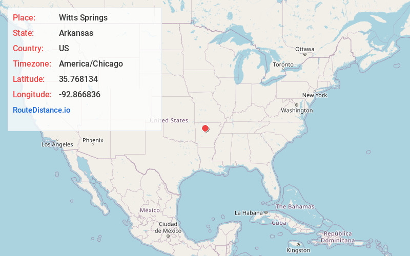
Full AddressWitts Springs, AR 72686
-
Coordinates35.7681338, -92.8668359
-
LocationWitts Springs , Arkansas , US
-
TimezoneAmerica/Chicago
-
Current Local Time3:10:16 PM America/ChicagoMonday, June 16, 2025
-
Page Views0
About Witts Springs
Witts Springs is an unincorporated community and census-designated place in Searcy County, Arkansas, United States. It was first listed as a CDP in the 2020 census with a population of 33. Witts Springs is located on Arkansas Highway 16, 16.5 miles southwest of Marshall.
Nearby Places
Found 10 places within 50 miles

Mt Judea
15.1 mi
24.3 km
Mt Judea, AR
Get directions

Marshall
16.4 mi
26.4 km
Marshall, AR 72650
Get directions

Gilbert
17.5 mi
28.2 km
Gilbert, AR
Get directions

Leslie
17.7 mi
28.5 km
Leslie, AR 72645
Get directions

St Joe
18.4 mi
29.6 km
St Joe, AR 72675
Get directions

Dennard
19.2 mi
30.9 km
Dennard, AR
Get directions

Deer
19.7 mi
31.7 km
Deer, AR
Get directions
Pindall
20.5 mi
33.0 km
Pindall, AR
Get directions

Hector
21.6 mi
34.8 km
Hector, AR 72843
Get directions

Western Grove
23.5 mi
37.8 km
Western Grove, AR
Get directions
Location Links
Local Weather
Weather Information
Coming soon!
Location Map
Static map view of Witts Springs, Arkansas
Browse Places by Distance
Places within specific distances from Witts Springs
Short Distances
Long Distances
Click any distance to see all places within that range from Witts Springs. Distances shown in miles (1 mile ≈ 1.61 kilometers).