Distance to Pencil Bluff, Arkansas

Calculating Your Route
Just a moment while we process your request...
Location Information
-
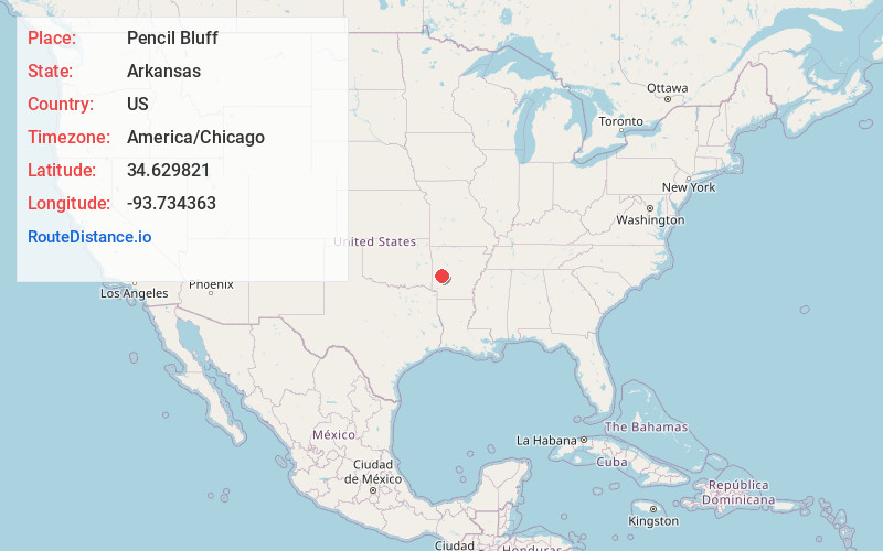
Full AddressPencil Bluff, AR
-
Coordinates34.6298206, -93.7343628
-
LocationPencil Bluff , Arkansas , US
-
TimezoneAmerica/Chicago
-
Current Local Time9:51:19 PM America/ChicagoSaturday, May 31, 2025
-
Page Views0
About Pencil Bluff
Pencil Bluff is an unincorporated community and census-designated place in Montgomery County, Arkansas, United States. Pencil Bluff is located at the junction of U.S. Route 270 and Arkansas Highway 88, 7.5 miles northwest of Mount Ida. It was first listed as a CDP in the 2020 census with a population of 72.
Nearby Places
Found 10 places within 50 miles

Oden
2.5 mi
4.0 km
Oden, AR 71961
Get directions

Mt Ida
7.6 mi
12.2 km
Mt Ida, AR 71957
Get directions

Black Springs
11.7 mi
18.8 km
Black Springs, AR 71960
Get directions

Norman
12.5 mi
20.1 km
Norman, AR 71960
Get directions

Caddo Gap
17.2 mi
27.7 km
Caddo Gap, AR 71935
Get directions

Boles
20.7 mi
33.3 km
Boles, AR 72926
Get directions
Board Camp
21.5 mi
34.6 km
Board Camp, AR 71953
Get directions

Glenwood
23.4 mi
37.7 km
Glenwood, AR
Get directions

Crystal Springs
23.9 mi
38.5 km
Crystal Springs, AR 71968
Get directions

Acorn
26.5 mi
42.6 km
Acorn, AR 71953
Get directions
Location Links
Local Weather
Weather Information
Coming soon!
Location Map
Static map view of Pencil Bluff, Arkansas
Browse Places by Distance
Places within specific distances from Pencil Bluff
Short Distances
Long Distances
Click any distance to see all places within that range from Pencil Bluff. Distances shown in miles (1 mile ≈ 1.61 kilometers).