Distance to Pendleton, Kentucky

Calculating Your Route
Just a moment while we process your request...
Location Information
-
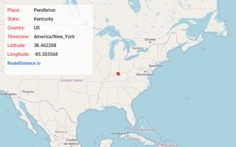
Full AddressPendleton, KY 40055
-
Coordinates38.4622879, -85.3035678
-
LocationPendleton , Kentucky , US
-
TimezoneAmerica/New_York
-
Current Local Time3:56:55 PM America/New_YorkTuesday, June 24, 2025
-
Page Views0
About Pendleton
Pendleton is an unincorporated community in Henry County, Kentucky, United States. The community is located along Kentucky Route 153 7.5 miles west-northwest of New Castle. Pendleton has a post office with ZIP code 40055.
Nearby Places
Found 10 places within 50 miles

La Grange
5.6 mi
9.0 km
La Grange, KY 40031
Get directions

Smithfield
5.8 mi
9.3 km
Smithfield, KY 40068
Get directions

Campbellsburg
6.9 mi
11.1 km
Campbellsburg, KY 40011
Get directions

New Castle
7.5 mi
12.1 km
New Castle, KY
Get directions

Bedford
9.0 mi
14.5 km
Bedford, KY 40006
Get directions

Buckner
9.2 mi
14.8 km
Buckner, KY
Get directions

Eminence
9.2 mi
14.8 km
Eminence, KY 40019
Get directions
Westport
9.4 mi
15.1 km
Westport, KY 40077
Get directions
Centerfield
9.6 mi
15.4 km
Centerfield, KY 40014
Get directions
Oldham County
12.0 mi
19.3 km
Oldham County, KY
Get directions
Location Links
Local Weather
Weather Information
Coming soon!
Location Map
Static map view of Pendleton, Kentucky
Browse Places by Distance
Places within specific distances from Pendleton
Short Distances
Long Distances
Click any distance to see all places within that range from Pendleton. Distances shown in miles (1 mile ≈ 1.61 kilometers).