Distance to Pennington, New Jersey

Calculating Your Route
Just a moment while we process your request...
Location Information
-
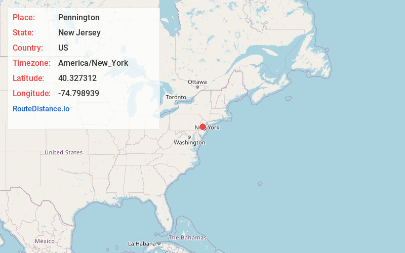
Full AddressPennington, NJ 08534
-
Coordinates40.3273123, -74.7989389
-
LocationPennington , New Jersey , US
-
TimezoneAmerica/New_York
-
Current Local Time1:05:16 AM America/New_YorkThursday, July 3, 2025
-
Website
-
Page Views0
About Pennington
Pennington is a borough in Mercer County, in the U.S. state of New Jersey. The borough is located at the cross-roads between the Delaware Valley region to the southwest and the Raritan Valley region to the northeast.


Nearby Places
Found 10 places within 50 miles

Ewing Township
3.6 mi
5.8 km
Ewing Township, NJ
Get directions

Hopewell
4.7 mi
7.6 km
Hopewell, NJ 08525
Get directions

Lawrence Township
5.1 mi
8.2 km
Lawrence Township, NJ
Get directions

Lower Makefield Township
7.5 mi
12.1 km
Lower Makefield Township, PA
Get directions

Trenton
7.6 mi
12.2 km
Trenton, NJ
Get directions

West Amwell Township
7.6 mi
12.2 km
West Amwell Township, NJ
Get directions

Princeton
7.6 mi
12.2 km
Princeton, NJ
Get directions

Hamilton Township
7.8 mi
12.6 km
Hamilton Township, NJ
Get directions

Lambertville
8.0 mi
12.9 km
Lambertville, NJ 08530
Get directions

Morrisville
8.3 mi
13.4 km
Morrisville, PA 19067
Get directions
Location Links
Local Weather
Weather Information
Coming soon!
Location Map
Static map view of Pennington, New Jersey
Browse Places by Distance
Places within specific distances from Pennington
Short Distances
Long Distances
Click any distance to see all places within that range from Pennington. Distances shown in miles (1 mile ≈ 1.61 kilometers).