Distance to Peoples, Kentucky

Calculating Your Route
Just a moment while we process your request...
Location Information
-
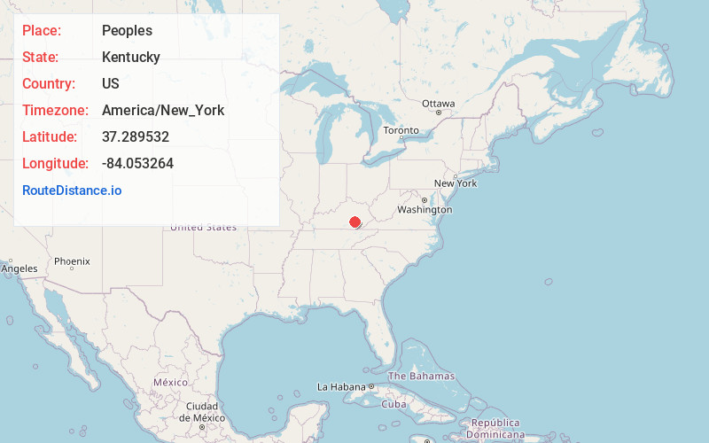
Full AddressPeoples, KY 40402
-
Coordinates37.2895321, -84.0532635
-
LocationPeoples , Kentucky , US
-
TimezoneAmerica/New_York
-
Current Local Time11:57:03 PM America/New_YorkThursday, June 19, 2025
-
Page Views0
About Peoples
Peoples is an unincorporated community in Jackson County, Kentucky, United States. Peoples is located at the junction of Kentucky Route 2002 and Kentucky Route 3630 5 miles west-southwest of Annville. Peoples had a post office until it closed on January 3, 2004. The community has the name of the local Peoples family.
Nearby Places
Found 10 places within 50 miles

Greenmount
3.2 mi
5.1 km
Greenmount, KY 40741
Get directions
Dabolt
3.7 mi
6.0 km
Dabolt, KY 40447
Get directions
Atlanta
4.0 mi
6.4 km
Atlanta, KY 40729
Get directions
Oakley
4.3 mi
6.9 km
Oakley, KY 40729
Get directions

Annville
5.0 mi
8.0 km
Annville, KY
Get directions
Royrader
6.3 mi
10.1 km
Royrader, KY 40402
Get directions

East Bernstadt
7.8 mi
12.6 km
East Bernstadt, KY 40729
Get directions
Atkinstown
8.2 mi
13.2 km
Atkinstown, KY 40447
Get directions
Mildred
8.2 mi
13.2 km
Mildred, KY 40447
Get directions
Hazel Patch
8.3 mi
13.4 km
Hazel Patch, KY 40729
Get directions
Location Links
Local Weather
Weather Information
Coming soon!
Location Map
Static map view of Peoples, Kentucky
Browse Places by Distance
Places within specific distances from Peoples
Short Distances
Long Distances
Click any distance to see all places within that range from Peoples. Distances shown in miles (1 mile ≈ 1.61 kilometers).