Distance to Dabolt, Kentucky

Calculating Your Route
Just a moment while we process your request...
Location Information
-
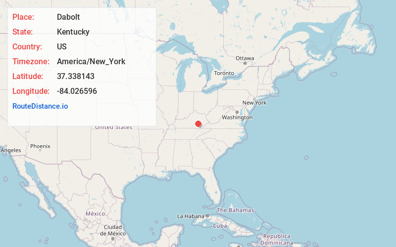
Full AddressDabolt, KY 40447
-
Coordinates37.3381429, -84.026596
-
LocationDabolt , Kentucky , US
-
TimezoneAmerica/New_York
-
Current Local Time9:54:26 PM America/New_YorkWednesday, June 25, 2025
-
Page Views0
About Dabolt
Dabolt is an unincorporated community in Jackson County, Kentucky, United States.
A post office was established in the community in 1928. This post office was closed on January 3, 2004. Dabolt was named for Frederick P. Dabolt, a head of Foley Lumber Co.
Nearby Places
Found 10 places within 50 miles

Annville
3.3 mi
5.3 km
Annville, KY
Get directions

Atkinstown
4.7 mi
7.6 km
Atkinstown, KY 40447
Get directions
Mildred
5.6 mi
9.0 km
Mildred, KY 40447
Get directions
Gray Hawk
6.2 mi
10.0 km
Gray Hawk, KY 40447
Get directions
Greenmount
6.3 mi
10.1 km
Greenmount, KY 40741
Get directions
McKee
6.6 mi
10.6 km
McKee, KY 40447
Get directions

Tyner
6.7 mi
10.8 km
Tyner, KY 40486
Get directions
Royrader
6.9 mi
11.1 km
Royrader, KY 40402
Get directions
Loam
7.4 mi
11.9 km
Loam, KY 40447
Get directions
Atlanta
7.4 mi
11.9 km
Atlanta, KY 40729
Get directions
Location Links
Local Weather
Weather Information
Coming soon!
Location Map
Static map view of Dabolt, Kentucky
Browse Places by Distance
Places within specific distances from Dabolt
Short Distances
Long Distances
Click any distance to see all places within that range from Dabolt. Distances shown in miles (1 mile ≈ 1.61 kilometers).