Distance to Gray Hawk, Kentucky

Calculating Your Route
Just a moment while we process your request...
Location Information
-
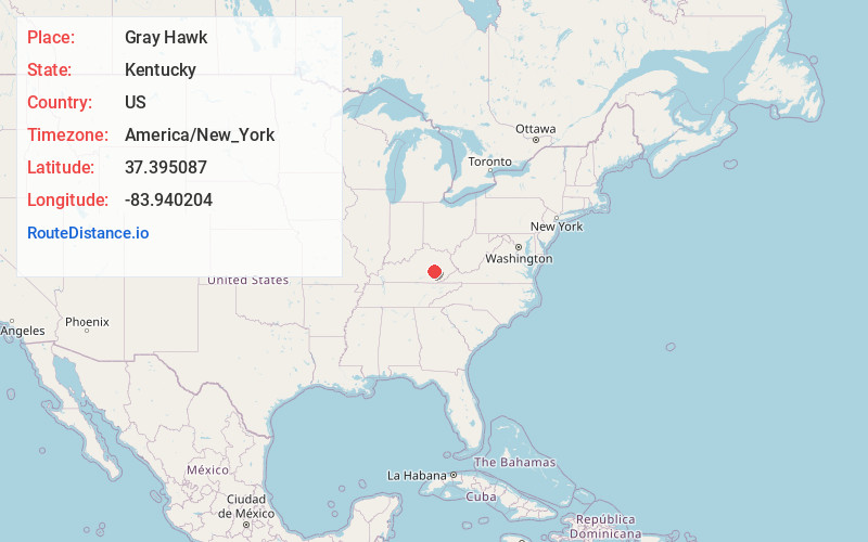
Full AddressGray Hawk, KY 40447
-
Coordinates37.3950871, -83.9402036
-
LocationGray Hawk , Kentucky , US
-
TimezoneAmerica/New_York
-
Current Local Time7:59:07 PM America/New_YorkMonday, June 2, 2025
-
Page Views0
About Gray Hawk
Gray Hawk is a small, unincorporated community in eastern Jackson County, KY. The community is located along US Route 421. Services in the community include a post office, gas station, and restaurant. Gray Hawk has a community park and two waterfalls: McCammon Branch Falls and Flat Lick Falls.
Nearby Places
Found 10 places within 50 miles

Atkinstown
1.5 mi
2.4 km
Atkinstown, KY 40447
Get directions
Mildred
2.9 mi
4.7 km
Mildred, KY 40447
Get directions

Tyner
4.0 mi
6.4 km
Tyner, KY 40486
Get directions
McKee
4.0 mi
6.4 km
McKee, KY 40447
Get directions
Turkey Foot
5.0 mi
8.0 km
Turkey Foot, KY 40447
Get directions

Annville
5.5 mi
8.9 km
Annville, KY
Get directions
Travellers Rest
9.2 mi
14.8 km
Travellers Rest, KY 41311
Get directions
Sextons Creek
10.2 mi
16.4 km
Sextons Creek, KY 40983
Get directions
Sandgap
10.4 mi
16.7 km
Sandgap, KY 40447
Get directions
Loam
10.4 mi
16.7 km
Loam, KY 40447
Get directions
Location Links
Local Weather
Weather Information
Coming soon!
Location Map
Static map view of Gray Hawk, Kentucky
Browse Places by Distance
Places within specific distances from Gray Hawk
Short Distances
Long Distances
Click any distance to see all places within that range from Gray Hawk. Distances shown in miles (1 mile ≈ 1.61 kilometers).