Distance to Sandgap, Kentucky

Calculating Your Route
Just a moment while we process your request...
Location Information
-
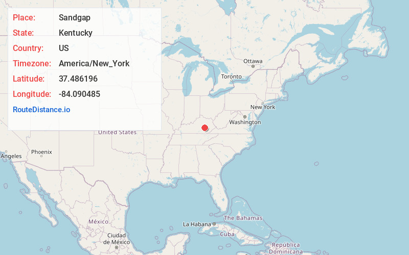
Full AddressSandgap, KY 40447
-
Coordinates37.4861962, -84.0904852
-
LocationSandgap , Kentucky , US
-
TimezoneAmerica/New_York
-
Current Local Time6:52:05 PM America/New_YorkWednesday, June 18, 2025
-
Page Views0
About Sandgap
Sandgap is a small, unincorporated community in northwestern Jackson County, KY. It is located along U.S. Route 421, at its junction with KY Route 2004. Sandgap Elementary School is located in the community and is operated by the Jackson County Public School system.
Nearby Places
Found 10 places within 50 miles

McKee
6.4 mi
10.3 km
McKee, KY 40447
Get directions
Disputanta
9.2 mi
14.8 km
Disputanta, KY 40456
Get directions

Berea
12.6 mi
20.3 km
Berea, KY
Get directions

Annville
13.3 mi
21.4 km
Annville, KY
Get directions

Livingston
14.7 mi
23.7 km
Livingston, KY 40445
Get directions

Ravenna
15.6 mi
25.1 km
Ravenna, KY 40472
Get directions

Irvine
16.1 mi
25.9 km
Irvine, KY
Get directions

Mt Vernon
16.5 mi
26.6 km
Mt Vernon, KY 40456
Get directions

Brodhead
18.6 mi
29.9 km
Brodhead, KY
Get directions

East Bernstadt
20.6 mi
33.2 km
East Bernstadt, KY 40729
Get directions
Location Links
Local Weather
Weather Information
Coming soon!
Location Map
Static map view of Sandgap, Kentucky
Browse Places by Distance
Places within specific distances from Sandgap
Short Distances
Long Distances
Click any distance to see all places within that range from Sandgap. Distances shown in miles (1 mile ≈ 1.61 kilometers).