Distance to Tyner, Kentucky

Calculating Your Route
Just a moment while we process your request...
Location Information
-
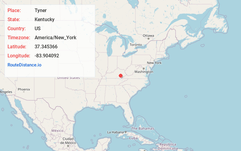
Full AddressTyner, KY 40486
-
Coordinates37.3453658, -83.9040915
-
LocationTyner , Kentucky , US
-
TimezoneAmerica/New_York
-
Current Local Time12:02:11 PM America/New_YorkThursday, June 19, 2025
-
Page Views0
About Tyner
Tyner is a small, unincorporated community in southeastern Jackson County, KY. The town is located at the junction of U.S. Route 421, KY Route 30 and KY Route 3630. Tyner Elementary School is located in the community and is operated by the Jackson County Public School system.

Nearby Places
Found 10 places within 50 miles

Annville
4.1 mi
6.6 km
Annville, KY
Get directions

McKee
7.8 mi
12.6 km
McKee, KY 40447
Get directions
Travellers Rest
9.6 mi
15.4 km
Travellers Rest, KY 41311
Get directions
Scoville
12.6 mi
20.3 km
Scoville, KY 41311
Get directions
Loam
13.1 mi
21.1 km
Loam, KY 40447
Get directions
Sandgap
14.1 mi
22.7 km
Sandgap, KY 40447
Get directions

Oneida
14.8 mi
23.8 km
Oneida, KY 40972
Get directions

Manchester
15.4 mi
24.8 km
Manchester, KY 40962
Get directions

Booneville
15.5 mi
24.9 km
Booneville, KY
Get directions

East Bernstadt
15.9 mi
25.6 km
East Bernstadt, KY 40729
Get directions
Location Links
Local Weather
Weather Information
Coming soon!
Location Map
Static map view of Tyner, Kentucky
Browse Places by Distance
Places within specific distances from Tyner
Short Distances
Long Distances
Click any distance to see all places within that range from Tyner. Distances shown in miles (1 mile ≈ 1.61 kilometers).