Distance to Peoria, Oregon

Calculating Your Route
Just a moment while we process your request...
Location Information
-
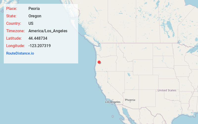
Full AddressPeoria, OR 97377
-
Coordinates44.4487336, -123.2073187
-
LocationPeoria , Oregon , US
-
TimezoneAmerica/Los_Angeles
-
Current Local Time6:06:11 PM America/Los_AngelesThursday, May 29, 2025
-
Page Views0
About Peoria
Peoria is an unincorporated community and census-designated place in Linn County, Oregon, United States. It is on the right bank of the Willamette River at river mile 141 between Eugene and Corvallis.


Nearby Places
Found 10 places within 50 miles

Shedd
4.9 mi
7.9 km
Shedd, OR 97377
Get directions

Halsey
6.6 mi
10.6 km
Halsey, OR 97348
Get directions

Tangent
8.0 mi
12.9 km
Tangent, OR 97389
Get directions

Corvallis
8.4 mi
13.5 km
Corvallis, OR
Get directions

Bellfountain
9.3 mi
15.0 km
Bellfountain, OR 97456
Get directions

Philomath
10.1 mi
16.3 km
Philomath, OR 97370
Get directions

Monroe
10.3 mi
16.6 km
Monroe, OR 97456
Get directions
Alpine
11.1 mi
17.9 km
Alpine, OR 97456
Get directions

Brownsville
11.6 mi
18.7 km
Brownsville, OR 97327
Get directions

Harrisburg
12.2 mi
19.6 km
Harrisburg, OR 97446
Get directions
Location Links
Local Weather
Weather Information
Coming soon!
Location Map
Static map view of Peoria, Oregon
Browse Places by Distance
Places within specific distances from Peoria
Short Distances
Long Distances
Click any distance to see all places within that range from Peoria. Distances shown in miles (1 mile ≈ 1.61 kilometers).