Distance to Pere Marquette Township, Michigan

Calculating Your Route
Just a moment while we process your request...
Location Information
-
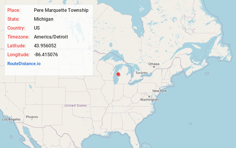
Full AddressPere Marquette Township, MI 49431
-
Coordinates43.956052, -86.4150755
-
LocationPere Marquette Township , Michigan , US
-
TimezoneAmerica/Detroit
-
Current Local Time4:23:49 PM America/DetroitTuesday, June 3, 2025
-
Page Views0
About Pere Marquette Township
Pere Marquette Charter Township is a charter township of Mason County in the U.S. state of Michigan. The population was 2,416 at the 2020 census.
The township was named for French explorer Père Jacques Marquette.

Nearby Places
Found 10 places within 50 miles

Ludington
1.9 mi
3.1 km
Ludington, MI 49431
Get directions

Buttersville
2.2 mi
3.5 km
Buttersville, Pere Marquette Township, MI 49431
Get directions
North Epworth
3.0 mi
4.8 km
North Epworth, Pere Marquette Township, MI 49431
Get directions

Amber Township
3.4 mi
5.5 km
Amber Township, MI
Get directions
Weimer
4.6 mi
7.4 km
Weimer, Hamlin Township, MI 49431
Get directions

Hamlin Township
4.7 mi
7.6 km
Hamlin Township, MI
Get directions
Piney Ridge
5.0 mi
8.0 km
Piney Ridge, Hamlin Township, MI 49431
Get directions

Victory Township
5.2 mi
8.4 km
Victory Township, MI
Get directions

Scottville
6.7 mi
10.8 km
Scottville, MI 49454
Get directions

Hamlin Lake
7.3 mi
11.7 km
Hamlin Lake, Michigan
Get directions
Location Links
Local Weather
Weather Information
Coming soon!
Location Map
Static map view of Pere Marquette Township, Michigan
Browse Places by Distance
Places within specific distances from Pere Marquette Township
Short Distances
Long Distances
Click any distance to see all places within that range from Pere Marquette Township. Distances shown in miles (1 mile ≈ 1.61 kilometers).