Distance to Scottville, Michigan

Calculating Your Route
Just a moment while we process your request...
Location Information
-
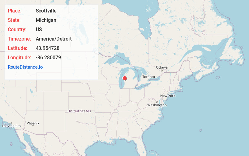
Full AddressScottville, MI 49454
-
Coordinates43.9547284, -86.2800787
-
LocationScottville , Michigan , US
-
TimezoneAmerica/Detroit
-
Current Local Time8:48:32 PM America/DetroitThursday, June 5, 2025
-
Page Views0
About Scottville
Scottville is a city in Mason County in the U.S. state of Michigan. The population was 1,356 at the 2020 census.


Nearby Places
Found 10 places within 50 miles

Ludington
8.6 mi
13.8 km
Ludington, MI 49431
Get directions

Hart
18.2 mi
29.3 km
Hart, MI
Get directions

Manistee
20.1 mi
32.3 km
Manistee, MI 49660
Get directions

Shelby
24.3 mi
39.1 km
Shelby, MI 49455
Get directions

Montague
37.4 mi
60.2 km
Montague, MI
Get directions

Fremont
37.7 mi
60.7 km
Fremont, MI
Get directions

Whitehall
37.8 mi
60.8 km
Whitehall, MI 49461
Get directions

Reed City
38.7 mi
62.3 km
Reed City, MI 49677
Get directions

Twin Lake
41.3 mi
66.5 km
Twin Lake, MI 49457
Get directions

Big Rapids
43.5 mi
70.0 km
Big Rapids, MI 49307
Get directions
Location Links
Local Weather
Weather Information
Coming soon!
Location Map
Static map view of Scottville, Michigan
Browse Places by Distance
Places within specific distances from Scottville
Short Distances
Long Distances
Click any distance to see all places within that range from Scottville. Distances shown in miles (1 mile ≈ 1.61 kilometers).