Distance to Perkins, Georgia

Calculating Your Route
Just a moment while we process your request...
Location Information
-
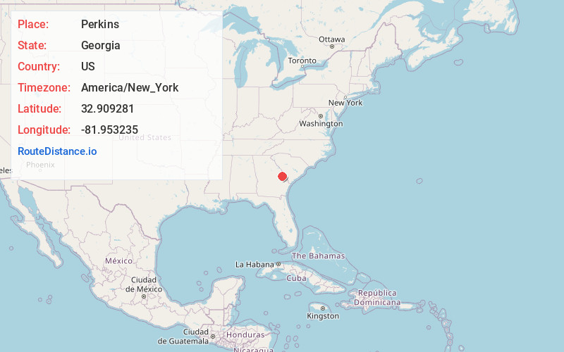
Full AddressPerkins, GA 30822
-
Coordinates32.9092808, -81.9532346
-
LocationPerkins , Georgia , US
-
TimezoneAmerica/New_York
-
Current Local Time11:05:16 PM America/New_YorkWednesday, June 18, 2025
-
Page Views0
About Perkins
Perkins is a census-designated place and unincorporated community in Jenkins County, Georgia, United States. As of the 2010 census it had a population of 91.
It lies a short distance east of U.S. Route 25, 7 miles north of the city of Millen, the county seat of Jenkins County. Its elevation is 239 feet.

Nearby Places
Found 10 places within 50 miles

Millen
7.3 mi
11.7 km
Millen, GA 30442
Get directions

Sardis
12.2 mi
19.6 km
Sardis, GA 30456
Get directions

Waynesboro
13.0 mi
20.9 km
Waynesboro, GA 30830
Get directions

Girard
16.7 mi
26.9 km
Girard, GA
Get directions

Hiltonia
17.2 mi
27.7 km
Hiltonia, GA 30467
Get directions

Midville
17.5 mi
28.2 km
Midville, GA 30441
Get directions

Rocky Ford
18.4 mi
29.6 km
Rocky Ford, GA 30455
Get directions
Vidette
19.2 mi
30.9 km
Vidette, GA
Get directions
Garfield
19.8 mi
31.9 km
Garfield, GA 30425
Get directions

Gough
20.2 mi
32.5 km
Gough, GA
Get directions
Location Links
Local Weather
Weather Information
Coming soon!
Location Map
Static map view of Perkins, Georgia
Browse Places by Distance
Places within specific distances from Perkins
Short Distances
Long Distances
Click any distance to see all places within that range from Perkins. Distances shown in miles (1 mile ≈ 1.61 kilometers).