Distance to Gough, Georgia

Calculating Your Route
Just a moment while we process your request...
Location Information
-
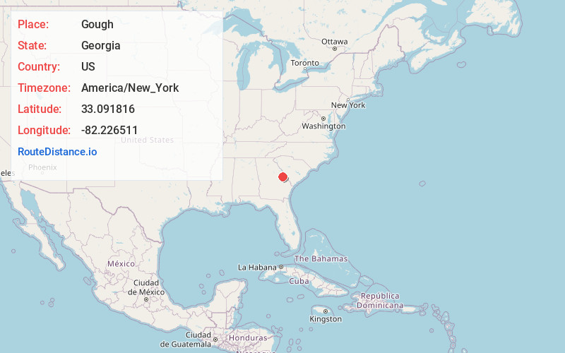
Full AddressGough, GA
-
Coordinates33.0918155, -82.2265113
-
LocationGough , Georgia , US
-
TimezoneAmerica/New_York
-
Current Local Time1:52:49 PM America/New_YorkWednesday, June 18, 2025
-
Page Views0
About Gough
Gough is an unincorporated community and census-designated place in Burke County, Georgia, United States. The community is located along Georgia State Route 305, 12.2 miles west of Waynesboro.
Gough was founded in 1905, and named after J. P. Gough, the original owner of the site.


Nearby Places
Found 10 places within 50 miles

Vidette
3.9 mi
6.3 km
Vidette, GA
Get directions
Matthews
9.5 mi
15.3 km
Matthews, GA
Get directions
Keysville
9.8 mi
15.8 km
Keysville, GA 30816
Get directions

Waynesboro
12.2 mi
19.6 km
Waynesboro, GA 30830
Get directions

Louisville
12.4 mi
20.0 km
Louisville, GA 30434
Get directions

Wrens
12.5 mi
20.1 km
Wrens, GA 30833
Get directions

Blythe
14.0 mi
22.5 km
Blythe, GA 30805
Get directions

Stapleton
16.4 mi
26.4 km
Stapleton, GA 30823
Get directions

Hephzibah
17.1 mi
27.5 km
Hephzibah, GA 30815
Get directions
Wadley
18.7 mi
30.1 km
Wadley, GA
Get directions
Location Links
Local Weather
Weather Information
Coming soon!
Location Map
Static map view of Gough, Georgia
Browse Places by Distance
Places within specific distances from Gough
Short Distances
Long Distances
Click any distance to see all places within that range from Gough. Distances shown in miles (1 mile ≈ 1.61 kilometers).