Distance to and from Matthews, Georgia
Matthews, GA
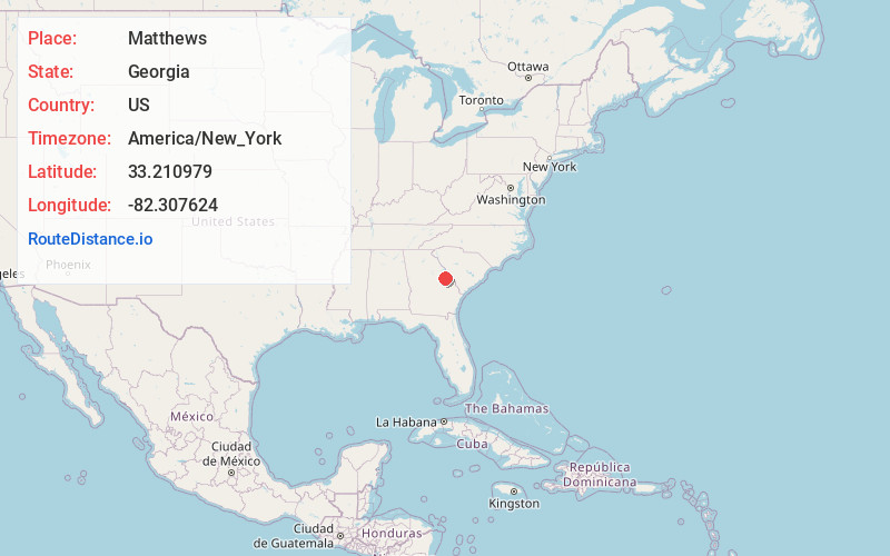
Matthews
Georgia
US
America/New_York
Location Information
-
Full AddressMatthews, GA
-
Coordinates33.2109785, -82.3076238
-
LocationMatthews , Georgia , US
-
TimezoneAmerica/New_York
-
Current Local Time6:50:29 AM America/New_YorkMonday, May 5, 2025
-
Page Views0
Directions to Nearest Cities
About Matthews
Matthews is a census-designated place and unincorporated community in Jefferson County, Georgia, United States. Its population was 146 as of the 2020 census. Georgia State Route 88 passes through the community.
Nearby Places
Found 10 places within 50 miles

Keysville
4.6 mi
7.4 km
Keysville, GA 30816
Get directions

Wrens
4.9 mi
7.9 km
Wrens, GA 30833
Get directions

Blythe
8.3 mi
13.4 km
Blythe, GA 30805
Get directions

Stapleton
9.3 mi
15.0 km
Stapleton, GA 30823
Get directions
Vidette
12.5 mi
20.1 km
Vidette, GA
Get directions
Avera
12.7 mi
20.4 km
Avera, GA 30803
Get directions

Harlem
14.1 mi
22.7 km
Harlem, GA 30814
Get directions

Hephzibah
14.1 mi
22.7 km
Hephzibah, GA 30815
Get directions

Dearing
14.7 mi
23.7 km
Dearing, GA 30808
Get directions

Louisville
15.7 mi
25.3 km
Louisville, GA 30434
Get directions
Keysville
4.6 mi
7.4 km
Keysville, GA 30816
Wrens
4.9 mi
7.9 km
Wrens, GA 30833
Blythe
8.3 mi
13.4 km
Blythe, GA 30805
Stapleton
9.3 mi
15.0 km
Stapleton, GA 30823
Vidette
12.5 mi
20.1 km
Vidette, GA
Avera
12.7 mi
20.4 km
Avera, GA 30803
Harlem
14.1 mi
22.7 km
Harlem, GA 30814
Hephzibah
14.1 mi
22.7 km
Hephzibah, GA 30815
Dearing
14.7 mi
23.7 km
Dearing, GA 30808
Louisville
15.7 mi
25.3 km
Louisville, GA 30434
Location Links
Local Weather
Weather Information
Coming soon!
Location Map
Static map view of Matthews, Georgia
Browse Places by Distance
Places within specific distances from Matthews
Short Distances
Long Distances
Click any distance to see all places within that range from Matthews. Distances shown in miles (1 mile ≈ 1.61 kilometers).