Distance to Wadley, Georgia

Calculating Your Route
Just a moment while we process your request...
Location Information
-
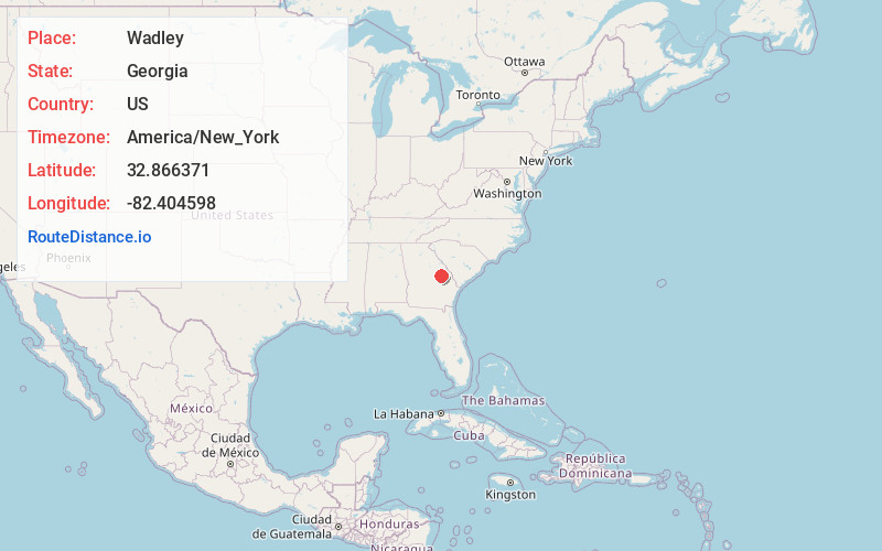
Full AddressWadley, GA
-
Coordinates32.8663713, -82.4045977
-
LocationWadley , Georgia , US
-
TimezoneAmerica/New_York
-
Current Local Time10:36:19 PM America/New_YorkSaturday, May 31, 2025
-
Page Views0
About Wadley
Wadley is a city in Jefferson County, Georgia, United States. The population was 1,643 in 2020.
Nearby Places
Found 10 places within 50 miles

Louisville
9.3 mi
15.0 km
Louisville, GA 30434
Get directions

Davisboro
14.1 mi
22.7 km
Davisboro, GA 31018
Get directions

Swainsboro
19.0 mi
30.6 km
Swainsboro, GA 30401
Get directions

Wrightsville
20.6 mi
33.2 km
Wrightsville, GA 31096
Get directions

Wrens
23.6 mi
38.0 km
Wrens, GA 30833
Get directions

Sandersville
24.8 mi
39.9 km
Sandersville, GA
Get directions

Millen
26.8 mi
43.1 km
Millen, GA 30442
Get directions

Waynesboro
27.3 mi
43.9 km
Waynesboro, GA 30830
Get directions

East Dublin
34.9 mi
56.2 km
East Dublin, GA 31027
Get directions

Soperton
35.5 mi
57.1 km
Soperton, GA 30457
Get directions
Location Links
Local Weather
Weather Information
Coming soon!
Location Map
Static map view of Wadley, Georgia
Browse Places by Distance
Places within specific distances from Wadley
Short Distances
Long Distances
Click any distance to see all places within that range from Wadley. Distances shown in miles (1 mile ≈ 1.61 kilometers).