Distance to Perkins, Missouri

Calculating Your Route
Just a moment while we process your request...
Location Information
-
Full AddressPerkins, MO 63771
-
Coordinates37.0947729, -89.7753664
-
LocationPerkins , Missouri , US
-
TimezoneAmerica/Chicago
-
Current Local Time8:55:39 AM America/ChicagoWednesday, June 18, 2025
-
Page Views0
About Perkins
Perkins is an unincorporated community and census-designated place in western Scott County, Missouri, United States. It is located sixteen miles northwest of Sikeston.
A post office called Perkins has been in operation since 1890.
Nearby Places
Found 10 places within 50 miles

Bell City
5.5 mi
8.9 km
Bell City, MO
Get directions

Oran
6.6 mi
10.6 km
Oran, MO 63771
Get directions

Delta
7.4 mi
11.9 km
Delta, MO
Get directions
Advance
7.5 mi
12.1 km
Advance, MO 63730
Get directions

Vanduser
8.7 mi
14.0 km
Vanduser, MO 63784
Get directions

Chaffee
8.9 mi
14.3 km
Chaffee, MO 63740
Get directions

Morley
9.8 mi
15.8 km
Morley, MO
Get directions
New Hamburg
10.3 mi
16.6 km
New Hamburg, MO
Get directions

Benton
11.7 mi
18.8 km
Benton, MO 63736
Get directions
Kelso
14.1 mi
22.7 km
Kelso, MO
Get directions
Location Links
Local Weather
Weather Information
Coming soon!
Location Map
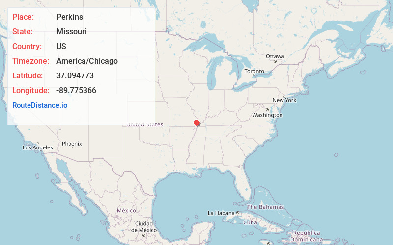
Static map view of Perkins, Missouri
Browse Places by Distance
Places within specific distances from Perkins
Short Distances
Long Distances
Click any distance to see all places within that range from Perkins. Distances shown in miles (1 mile ≈ 1.61 kilometers).