Distance to Perkins Point, Virginia

Calculating Your Route
Just a moment while we process your request...
Location Information
-
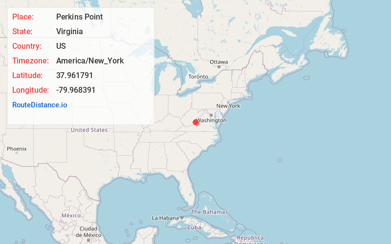
Full AddressPerkins Point, VA 24445
-
Coordinates37.9617913, -79.9683912
-
LocationVirginia , US
-
TimezoneAmerica/New_York
-
Current Local Time1:41:15 AM America/New_YorkTuesday, June 3, 2025
-
Page Views1
Nearby Places
Found 10 places within 50 miles

Dry Branch
6.3 mi
10.1 km
Dry Branch, Virginia 24426
Get directions
Switch Back
7.7 mi
12.4 km
Switch Back, Hot Springs, VA 24445
Get directions

Hot Springs
7.9 mi
12.7 km
Hot Springs, VA 24445
Get directions

Neola
8.8 mi
14.2 km
Neola, WV 24986
Get directions
Mitchelltown
9.2 mi
14.8 km
Mitchelltown, Hot Springs, VA 24445
Get directions
Shryock
9.9 mi
15.9 km
Shryock, WV 24986
Get directions
Mooretown
10.5 mi
16.9 km
Mooretown, VA 24484
Get directions

Warm Springs
11.3 mi
18.2 km
Warm Springs, VA 24484
Get directions
Oakwood Forest
11.5 mi
18.5 km
Oakwood Forest, VA 24426
Get directions

Covington
11.7 mi
18.8 km
Covington, VA 24426
Get directions
Location Links
Local Weather
Weather Information
Coming soon!
Location Map
Static map view of Perkins Point, Virginia
Browse Places by Distance
Places within specific distances from Perkins Point
Short Distances
Long Distances
Click any distance to see all places within that range from Perkins Point. Distances shown in miles (1 mile ≈ 1.61 kilometers).