Distance to Perkinstown, Wisconsin

Calculating Your Route
Just a moment while we process your request...
Location Information
-
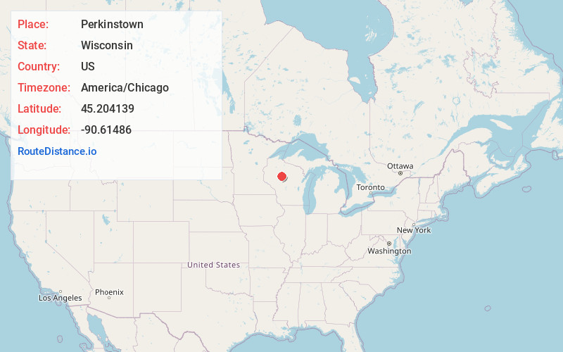
Full AddressPerkinstown, WI 54451
-
Coordinates45.2041394, -90.6148597
-
LocationPerkinstown , Wisconsin , US
-
TimezoneAmerica/Chicago
-
Current Local Time10:28:29 AM America/ChicagoSunday, June 22, 2025
-
Page Views0
About Perkinstown
Perkinstown is an unincorporated community located in the town of Grover, Taylor County, Wisconsin, United States. The hamlet is scattered around Lake Kathryn, surrounded by Chequamegon National Forest, 10 miles east-northeast of Gilman, reached by County Highway M and several gravel roads.

Nearby Places
Found 10 places within 50 miles

Hughey
5.2 mi
8.4 km
Hughey, WI 54433
Get directions

Gilman
9.7 mi
15.6 km
Gilman, WI 54433
Get directions
Lublin
10.3 mi
16.6 km
Lublin, WI 54447
Get directions
Jump River
13.7 mi
22.0 km
Jump River, WI
Get directions
Whittlesey
14.0 mi
22.5 km
Whittlesey, WI 54451
Get directions

Medford
14.1 mi
22.7 km
Medford, WI 54451
Get directions
Little Black
15.5 mi
24.9 km
Little Black, WI 54451
Get directions
Chelsea
16.1 mi
25.9 km
Chelsea, WI
Get directions
Stetsonville
17.0 mi
27.4 km
Stetsonville, WI
Get directions

Withee
17.1 mi
27.5 km
Withee, WI 54498
Get directions
Location Links
Local Weather
Weather Information
Coming soon!
Location Map
Static map view of Perkinstown, Wisconsin
Browse Places by Distance
Places within specific distances from Perkinstown
Short Distances
Long Distances
Click any distance to see all places within that range from Perkinstown. Distances shown in miles (1 mile ≈ 1.61 kilometers).