Distance to Peter Pender, Arkansas

Calculating Your Route
Just a moment while we process your request...
Location Information
-
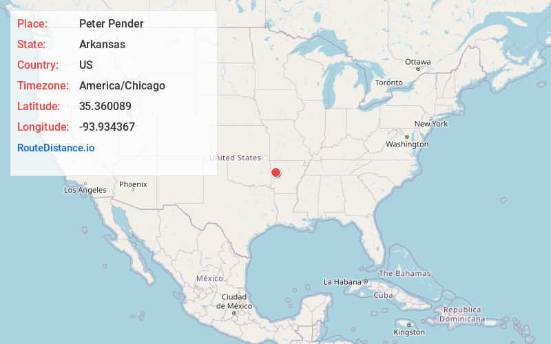
Full AddressPeter Pender, AR 72933
-
Coordinates35.3600887, -93.9343674
-
LocationArkansas , US
-
TimezoneAmerica/Chicago
-
Current Local Time11:59:52 AM America/ChicagoSaturday, May 31, 2025
-
Page Views0
Nearby Places
Found 10 places within 50 miles

Branch
3.9 mi
6.3 km
Branch, AR
Get directions
Meg
4.0 mi
6.4 km
Meg, AR 72949
Get directions

Ratcliff
4.6 mi
7.4 km
Ratcliff, AR 72951
Get directions
Etna
4.8 mi
7.7 km
Etna, AR 72951
Get directions
Cecil
5.5 mi
8.9 km
Cecil, AR 72930
Get directions
Caulksville
5.6 mi
9.0 km
Caulksville, AR
Get directions
Vesta
6.2 mi
10.0 km
Vesta, AR 72933
Get directions
Poping
6.9 mi
11.1 km
Poping, AR 72949
Get directions
Charleston
7.5 mi
12.1 km
Charleston, AR 72933
Get directions
Roseville
9.1 mi
14.6 km
Roseville, AR 72855
Get directions
Location Links
Local Weather
Weather Information
Coming soon!
Location Map
Static map view of Peter Pender, Arkansas
Browse Places by Distance
Places within specific distances from Peter Pender
Short Distances
Long Distances
Click any distance to see all places within that range from Peter Pender. Distances shown in miles (1 mile ≈ 1.61 kilometers).