Distance to Charleston, Arkansas

Calculating Your Route
Just a moment while we process your request...
Location Information
-
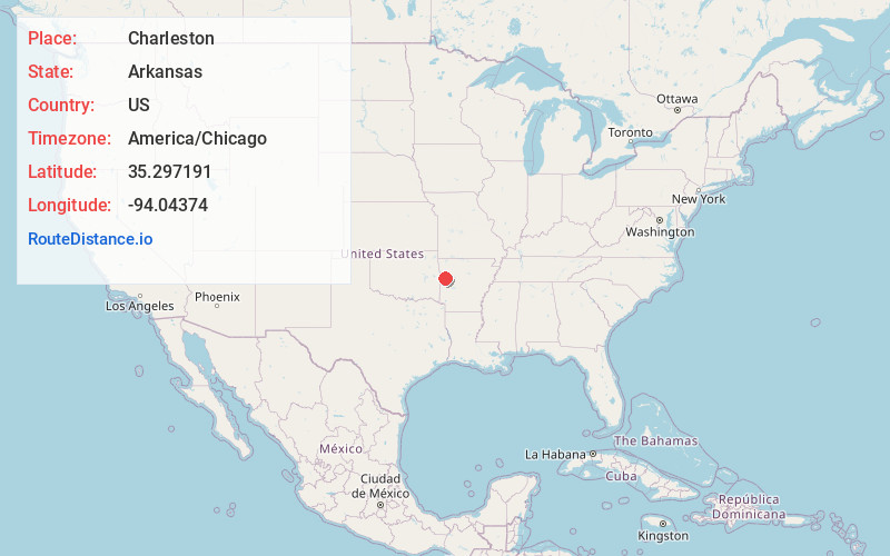
Full AddressCharleston, AR 72933
-
Coordinates35.2971909, -94.0437396
-
LocationCharleston , Arkansas , US
-
TimezoneAmerica/Chicago
-
Current Local Time8:49:07 AM America/ChicagoThursday, May 22, 2025
-
Page Views0
About Charleston
Charleston is a city in Franklin County, Arkansas, United States, and along with Ozark is one of the two county seats of Franklin County. It is part of the Fort Smith, Arkansas-Oklahoma Metropolitan Statistical Area. The population was 2,494 at the 2010 census, down from 2,965 in 2000.
Nearby Places
Found 10 places within 50 miles

Booneville
12.8 mi
20.6 km
Booneville, AR 72927
Get directions

Greenwood
13.3 mi
21.4 km
Greenwood, AR 72936
Get directions

Barling
14.7 mi
23.7 km
Barling, AR
Get directions

Alma
16.9 mi
27.2 km
Alma, AR 72921
Get directions

Paris
17.7 mi
28.5 km
Paris, AR 72855
Get directions

Ozark
17.9 mi
28.8 km
Ozark, AR 72949
Get directions

Van Buren
20.9 mi
33.6 km
Van Buren, AR 72956
Get directions

Fort Smith
22.1 mi
35.6 km
Fort Smith, AR
Get directions

Pocola
24.9 mi
40.1 km
Pocola, OK
Get directions

Waldron
27.8 mi
44.7 km
Waldron, AR 72958
Get directions
Location Links
Local Weather
Weather Information
Coming soon!
Location Map
Static map view of Charleston, Arkansas
Browse Places by Distance
Places within specific distances from Charleston
Short Distances
Long Distances
Click any distance to see all places within that range from Charleston. Distances shown in miles (1 mile ≈ 1.61 kilometers).