Distance to Phlox, Indiana

Calculating Your Route
Just a moment while we process your request...
Location Information
-
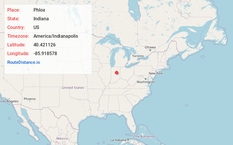
Full AddressPhlox, IN 46936
-
Coordinates40.4211264, -85.9185776
-
LocationPhlox , Indiana , US
-
TimezoneAmerica/Indianapolis
-
Page Views0
About Phlox
Phlox is an unincorporated community in southern Union Township, Howard County, Indiana, United States. It lies at the intersection of State Road 26 with County Road 1100 East.
Phlox is part of the Kokomo, Indiana Metropolitan Statistical Area.
Phlox is probably named after the local vegetation.
Nearby Places
Found 10 places within 50 miles

West Liberty
1.6 mi
2.6 km
West Liberty, IN 46936
Get directions
Guy
3.2 mi
5.1 km
Guy, Liberty Township, IN 46936
Get directions

Windfall
4.5 mi
7.2 km
Windfall, IN 46076
Get directions

Greentown
4.7 mi
7.6 km
Greentown, IN 46936
Get directions
Nevada
4.8 mi
7.7 km
Nevada, IN 46068
Get directions
Sycamore
4.9 mi
7.9 km
Sycamore, IN 46936
Get directions
Point Isabel
5.0 mi
8.0 km
Point Isabel, IN 46928
Get directions
Leisure
5.6 mi
9.0 km
Leisure, IN 46036
Get directions
Sims
6.4 mi
10.3 km
Sims, IN 46986
Get directions

Hemlock
6.5 mi
10.5 km
Hemlock, IN 46902
Get directions
Location Links
Local Weather
Weather Information
Coming soon!
Location Map
Static map view of Phlox, Indiana
Browse Places by Distance
Places within specific distances from Phlox
Short Distances
Long Distances
Click any distance to see all places within that range from Phlox. Distances shown in miles (1 mile ≈ 1.61 kilometers).