Distance to Pickard, Indiana

Calculating Your Route
Just a moment while we process your request...
Location Information
-
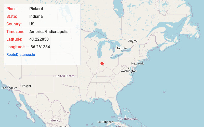
Full AddressPickard, IN 46050
-
Coordinates40.2228527, -86.2613341
-
LocationPickard , Indiana , US
-
TimezoneAmerica/Indianapolis
-
Page Views0
About Pickard
Pickard is an unincorporated community in Sugar Creek Township, Clinton County, Indiana. The community is named for Jacob Pickard who operated a sawmill at the site.
Nearby Places
Found 10 places within 50 miles

Terhune
4.1 mi
6.6 km
Terhune, IN 46069
Get directions
Kempton
4.8 mi
7.7 km
Kempton, IN 46049
Get directions
Scircleville
4.9 mi
7.9 km
Scircleville, IN 46041
Get directions
Ekin
5.3 mi
8.5 km
Ekin, IN 46072
Get directions

Kirklin
5.6 mi
9.0 km
Kirklin, IN 46050
Get directions
Boxley
6.0 mi
9.7 km
Boxley, IN 46069
Get directions
Hillisburg
6.0 mi
9.7 km
Hillisburg, IN 46041
Get directions
Sheridan
6.4 mi
10.3 km
Sheridan, IN 46069
Get directions
East Union
7.0 mi
11.3 km
East Union, IN 46031
Get directions
Goldsmith
7.5 mi
12.1 km
Goldsmith, IN
Get directions
Location Links
Local Weather
Weather Information
Coming soon!
Location Map
Static map view of Pickard, Indiana
Browse Places by Distance
Places within specific distances from Pickard
Short Distances
Long Distances
Click any distance to see all places within that range from Pickard. Distances shown in miles (1 mile ≈ 1.61 kilometers).