Distance to Sheridan, Indiana

Calculating Your Route
Just a moment while we process your request...
Location Information
-
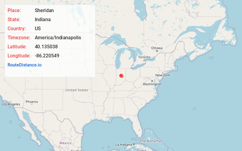
Full AddressSheridan, IN 46069
-
Coordinates40.1350375, -86.2205487
-
LocationSheridan , Indiana , US
-
TimezoneAmerica/Indianapolis
-
Website
-
Page Views0
About Sheridan
Sheridan is a town in Adams Township, Hamilton County, Indiana, United States. The population was 3,106 at the 2020 census. The center of population of Indiana is located just northwest of Sheridan.
Nearby Places
Found 10 places within 50 miles

Westfield
8.0 mi
12.9 km
Westfield, IN
Get directions

Cicero
11.0 mi
17.7 km
Cicero, IN
Get directions

Carmel
12.1 mi
19.5 km
Carmel, IN
Get directions

Noblesville
12.8 mi
20.6 km
Noblesville, IN
Get directions

Zionsville
13.2 mi
21.2 km
Zionsville, IN
Get directions

Whitestown
13.9 mi
22.4 km
Whitestown, IN
Get directions

Tipton
13.9 mi
22.4 km
Tipton, IN 46072
Get directions

Lebanon
14.4 mi
23.2 km
Lebanon, IN 46052
Get directions

Fishers
16.3 mi
26.2 km
Fishers, IN
Get directions

Frankfort
18.3 mi
29.5 km
Frankfort, IN 46041
Get directions
Location Links
Local Weather
Weather Information
Coming soon!
Location Map
Static map view of Sheridan, Indiana
Browse Places by Distance
Places within specific distances from Sheridan
Short Distances
Long Distances
Click any distance to see all places within that range from Sheridan. Distances shown in miles (1 mile ≈ 1.61 kilometers).