Distance to and from Pig, Kentucky
Pig, KY 42171
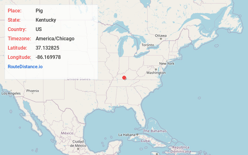
Pig
Kentucky
US
America/Chicago
Location Information
-
Full AddressPig, KY 42171
-
Coordinates37.1328249, -86.1699784
-
LocationPig , Kentucky , US
-
TimezoneAmerica/Chicago
-
Current Local Time12:51:38 AM America/ChicagoTuesday, May 6, 2025
-
Page Views0
Directions to Nearest Cities
About Pig
Pig is an unincorporated community in southern Edmonson County, Kentucky, United States.
Nearby Places
Found 10 places within 50 miles

Elko
2.8 mi
4.5 km
Elko, KY 42171
Get directions

Chalybeate
3.7 mi
6.0 km
Chalybeate, KY 42171
Get directions
Rocky Hill
4.8 mi
7.7 km
Rocky Hill, KY 42171
Get directions
Chaumont
5.7 mi
9.2 km
Chaumont, KY 42160
Get directions

Smiths Grove
5.9 mi
9.5 km
Smiths Grove, KY 42171
Get directions
Tuckertown
6.4 mi
10.3 km
Tuckertown, KY 42171
Get directions

Brownsville
6.8 mi
10.9 km
Brownsville, KY 42210
Get directions

Park City
7.2 mi
11.6 km
Park City, KY 42160
Get directions
Hays
7.2 mi
11.6 km
Hays, KY 42171
Get directions

Oakland
7.6 mi
12.2 km
Oakland, KY 42159
Get directions
Elko
2.8 mi
4.5 km
Elko, KY 42171
Chalybeate
3.7 mi
6.0 km
Chalybeate, KY 42171
Rocky Hill
4.8 mi
7.7 km
Rocky Hill, KY 42171
Chaumont
5.7 mi
9.2 km
Chaumont, KY 42160
Smiths Grove
5.9 mi
9.5 km
Smiths Grove, KY 42171
Tuckertown
6.4 mi
10.3 km
Tuckertown, KY 42171
Brownsville
6.8 mi
10.9 km
Brownsville, KY 42210
Park City
7.2 mi
11.6 km
Park City, KY 42160
Hays
7.2 mi
11.6 km
Hays, KY 42171
Oakland
7.6 mi
12.2 km
Oakland, KY 42159
Location Links
Local Weather
Weather Information
Coming soon!
Location Map
Static map view of Pig, Kentucky
Browse Places by Distance
Places within specific distances from Pig
Short Distances
Long Distances
Click any distance to see all places within that range from Pig. Distances shown in miles (1 mile ≈ 1.61 kilometers).