Distance to Pig Point, Maryland

Calculating Your Route
Just a moment while we process your request...
Location Information
-
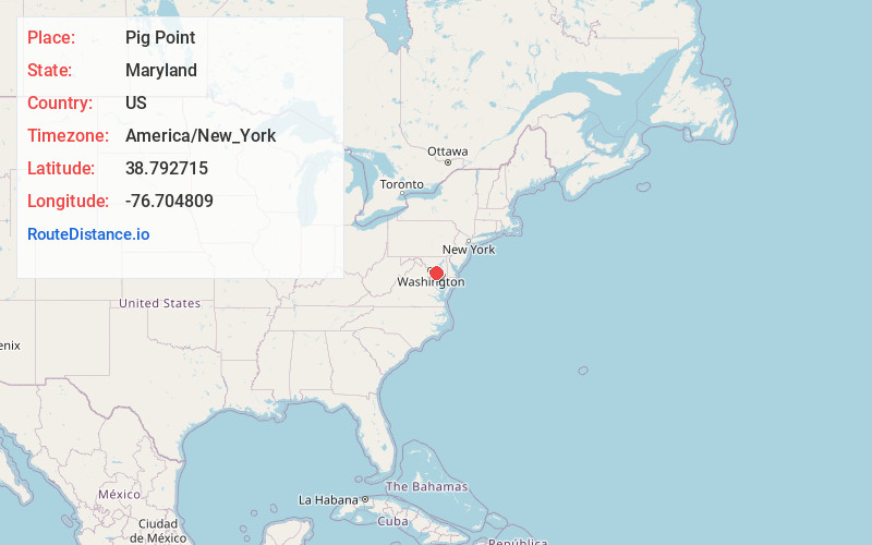
Full AddressPig Point, Maryland 20711
-
Coordinates38.7927154, -76.704809
-
LocationMaryland , US
-
TimezoneAmerica/New_York
-
Current Local Time11:11:10 PM America/New_YorkTuesday, July 1, 2025
-
Page Views0
Nearby Places
Found 10 places within 50 miles

Upper Marlboro
2.9 mi
4.7 km
Upper Marlboro, MD 20772
Get directions

Croom
4.2 mi
6.8 km
Croom, MD
Get directions
Brock Hall
4.5 mi
7.2 km
Brock Hall, MD
Get directions
Chaney
4.7 mi
7.6 km
Chaney, MD 20754
Get directions

Marlton
4.8 mi
7.7 km
Marlton, MD 20772
Get directions
Queenland
4.8 mi
7.7 km
Queenland, MD 20772
Get directions
Dunkirk
5.5 mi
8.9 km
Dunkirk, MD
Get directions
Duley
5.9 mi
9.5 km
Duley, Croom, MD 20772
Get directions
Westphalia
6.9 mi
11.1 km
Westphalia, MD
Get directions
Rosaryville
7.3 mi
11.7 km
Rosaryville, MD
Get directions
Location Links
Local Weather
Weather Information
Coming soon!
Location Map
Static map view of Pig Point, Maryland
Browse Places by Distance
Places within specific distances from Pig Point
Short Distances
Long Distances
Click any distance to see all places within that range from Pig Point. Distances shown in miles (1 mile ≈ 1.61 kilometers).