Distance to Pin Hook, North Carolina

Calculating Your Route
Just a moment while we process your request...
Location Information
-
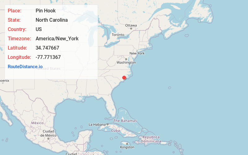
Full AddressPin Hook, NC 28466
-
Coordinates34.7476671, -77.7713672
-
LocationNorth Carolina , US
-
TimezoneAmerica/New_York
-
Current Local Time5:31:39 PM America/New_YorkFriday, May 30, 2025
-
Page Views0
Nearby Places
Found 10 places within 50 miles

Sholars Crossroads
1.9 mi
3.1 km
Sholars Crossroads, NC 28466
Get directions
Cypress Creek
3.8 mi
6.1 km
Cypress Creek, NC 28574
Get directions
Maready
4.1 mi
6.6 km
Maready, NC 28521
Get directions
Blue Ridge
4.4 mi
7.1 km
Blue Ridge, North Carolina 28466
Get directions
Chinquapin
6.3 mi
10.1 km
Chinquapin, NC
Get directions
Maple Hill
7.3 mi
11.7 km
Maple Hill, NC 28454
Get directions
Lyman
7.7 mi
12.4 km
Lyman, NC 28518
Get directions
Pasley
7.8 mi
12.6 km
Pasley, NC 28466
Get directions
Shaken
9.0 mi
14.5 km
Shaken, NC 28425
Get directions
Shelter Neck
9.7 mi
15.6 km
Shelter Neck, NC 28425
Get directions
Location Links
Local Weather
Weather Information
Coming soon!
Location Map
Static map view of Pin Hook, North Carolina
Browse Places by Distance
Places within specific distances from Pin Hook
Short Distances
Long Distances
Click any distance to see all places within that range from Pin Hook. Distances shown in miles (1 mile ≈ 1.61 kilometers).