Distance to Pin Point, Georgia

Calculating Your Route
Just a moment while we process your request...
Location Information
-
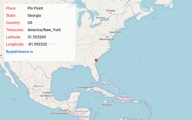
Full AddressPin Point, Montgomery, GA 31406
-
Coordinates31.9532694, -81.0923322
-
LocationMontgomery , Georgia , US
-
TimezoneAmerica/New_York
-
Current Local Time8:36:57 PM America/New_YorkTuesday, June 17, 2025
-
Page Views0
About Pin Point
Pin Point is an unincorporated community in Chatham County, Georgia, United States; it is located 11 miles southeast of Savannah and is part of the Savannah Metropolitan Statistical Area. Pin Point is 1 mi wide and 1.6 mi long, and lies 13 feet above sea level.


Nearby Places
Found 10 places within 50 miles

Vernonburg
1.8 mi
2.9 km
Vernonburg, GA 31419
Get directions

Beaulieu
1.9 mi
3.1 km
Beaulieu, Montgomery, GA 31406
Get directions

Montgomery
2.0 mi
3.2 km
Montgomery, GA
Get directions

Isle of Hope
2.7 mi
4.3 km
Isle of Hope, GA 31406
Get directions

Skidaway Island
2.9 mi
4.7 km
Skidaway Island, GA
Get directions
Harrock Hall
3.2 mi
5.1 km
Harrock Hall, GA 31406
Get directions
Lakeside Park
3.5 mi
5.6 km
Lakeside Park, GA 31406
Get directions
Dutch Island
4.5 mi
7.2 km
Dutch Island, GA 31406
Get directions
Forest River Farms
5.5 mi
8.9 km
Forest River Farms, Savannah, GA 31409
Get directions

Thunderbolt
6.1 mi
9.8 km
Thunderbolt, GA
Get directions
Location Links
Local Weather
Weather Information
Coming soon!
Location Map
Static map view of Pin Point, Georgia
Browse Places by Distance
Places within specific distances from Pin Point
Short Distances
Long Distances
Click any distance to see all places within that range from Pin Point. Distances shown in miles (1 mile ≈ 1.61 kilometers).