Distance to Pine, Colorado

Calculating Your Route
Just a moment while we process your request...
Location Information
-
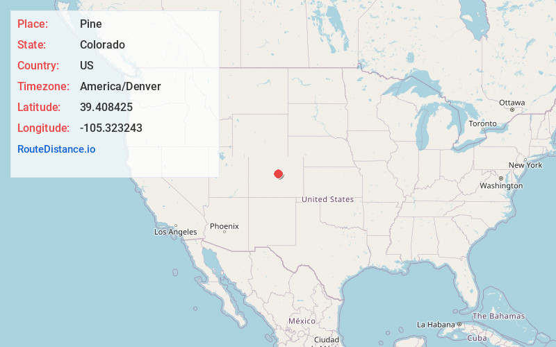
Full AddressPine, CO 80470
-
Coordinates39.4084249, -105.3232433
-
LocationPine , Colorado , US
-
TimezoneAmerica/Denver
-
Current Local Time12:07:07 AM America/DenverThursday, June 19, 2025
-
Page Views0
About Pine
Pine is an unincorporated community and a U.S. Post Office in Jefferson County, Colorado, United States. The Pine Post Office has the ZIP Code 80470.
The historic town is also called Pine Grove.


Nearby Places
Found 10 places within 50 miles

Cliffdale
2.8 mi
4.5 km
Cliffdale, CO 80470
Get directions
Crossons
3.4 mi
5.5 km
Crossons, CO 80470
Get directions
Ferndale
3.6 mi
5.8 km
Ferndale, CO 80470
Get directions
Rock Creek
7.0 mi
11.3 km
Rock Creek, Bailey, CO 80421
Get directions

Aspen Park
9.4 mi
15.1 km
Aspen Park, CO
Get directions
Sprucewood
11.5 mi
18.5 km
Sprucewood, CO 80135
Get directions
Singleton
15.1 mi
24.3 km
Singleton, CO 80475
Get directions

Indian Hills
15.1 mi
24.3 km
Indian Hills, CO
Get directions

Evergreen
15.5 mi
24.9 km
Evergreen, CO 80439
Get directions

Upper Bear Creek
15.8 mi
25.4 km
Upper Bear Creek, CO 80439
Get directions
Location Links
Local Weather
Weather Information
Coming soon!
Location Map
Static map view of Pine, Colorado
Browse Places by Distance
Places within specific distances from Pine
Short Distances
Long Distances
Click any distance to see all places within that range from Pine. Distances shown in miles (1 mile ≈ 1.61 kilometers).