Distance to Crossons, Colorado

Calculating Your Route
Just a moment while we process your request...
Location Information
-
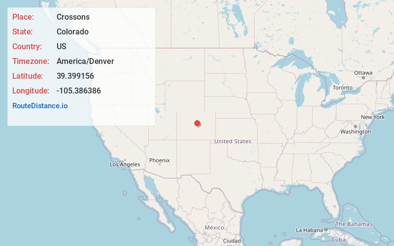
Full AddressCrossons, CO 80470
-
Coordinates39.3991558, -105.3863857
-
LocationColorado , US
-
TimezoneAmerica/Denver
-
Current Local Time12:25:08 PM America/DenverTuesday, June 24, 2025
-
Page Views0
Nearby Places
Found 10 places within 50 miles

Rock Creek
3.6 mi
5.8 km
Rock Creek, Bailey, CO 80421
Get directions
Ferndale
7.0 mi
11.3 km
Ferndale, CO 80470
Get directions

Aspen Park
11.0 mi
17.7 km
Aspen Park, CO
Get directions
Singleton
11.9 mi
19.2 km
Singleton, CO 80475
Get directions
Santa Maria
13.6 mi
21.9 km
Santa Maria, CO 80448
Get directions
Sprucewood
14.6 mi
23.5 km
Sprucewood, CO 80135
Get directions

Upper Bear Creek
15.8 mi
25.4 km
Upper Bear Creek, CO 80439
Get directions
Brookvale
16.0 mi
25.7 km
Brookvale, Upper Bear Creek, CO 80439
Get directions
Witter Gulch
16.2 mi
26.1 km
Witter Gulch, Colorado 80439
Get directions

Evergreen
16.6 mi
26.7 km
Evergreen, CO 80439
Get directions
Location Links
Local Weather
Weather Information
Coming soon!
Location Map
Static map view of Crossons, Colorado
Browse Places by Distance
Places within specific distances from Crossons
Short Distances
Long Distances
Click any distance to see all places within that range from Crossons. Distances shown in miles (1 mile ≈ 1.61 kilometers).