Distance to Santa Maria, Colorado

Calculating Your Route
Just a moment while we process your request...
Location Information
-
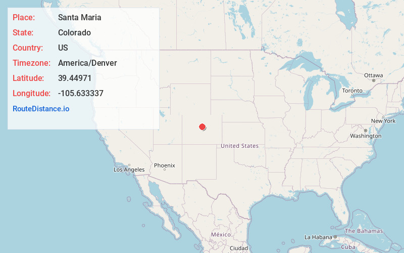
Full AddressSanta Maria, CO 80448
-
Coordinates39.4497103, -105.6333374
-
LocationColorado , US
-
TimezoneAmerica/Denver
-
Current Local Time6:13:22 PM America/DenverSunday, June 1, 2025
-
Page Views0
Nearby Places
Found 10 places within 50 miles

Singleton
1.7 mi
2.7 km
Singleton, CO 80475
Get directions

Mount Blue Sky
9.6 mi
15.4 km
Mount Blue Sky, Colorado 80439
Get directions
Rock Creek
10.4 mi
16.7 km
Rock Creek, Bailey, CO 80421
Get directions

Montezuma
15.4 mi
24.8 km
Montezuma, CO 80435
Get directions

Upper Bear Creek
17.0 mi
27.4 km
Upper Bear Creek, CO 80439
Get directions
Peabodys
17.2 mi
27.7 km
Peabodys, CO 80440
Get directions

Silver Plume
17.7 mi
28.5 km
Silver Plume, CO 80476
Get directions
Witter Gulch
17.9 mi
28.8 km
Witter Gulch, Colorado 80439
Get directions

Georgetown
18.0 mi
29.0 km
Georgetown, CO
Get directions

Keystone
18.4 mi
29.6 km
Keystone, CO 80435
Get directions
Location Links
Local Weather
Weather Information
Coming soon!
Location Map
Static map view of Santa Maria, Colorado
Browse Places by Distance
Places within specific distances from Santa Maria
Short Distances
Long Distances
Click any distance to see all places within that range from Santa Maria. Distances shown in miles (1 mile ≈ 1.61 kilometers).