Distance to Pine Grove, Louisiana

Calculating Your Route
Just a moment while we process your request...
Location Information
-
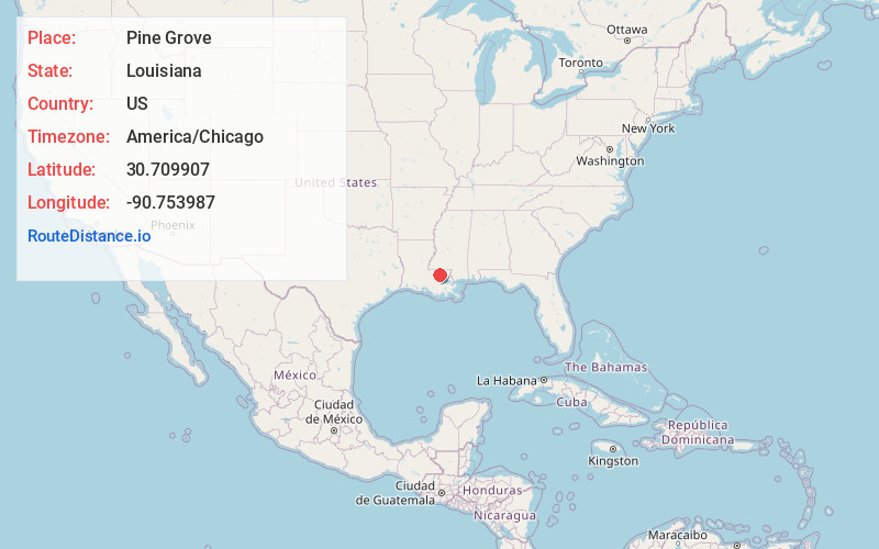
Full AddressPine Grove, LA 70453
-
Coordinates30.7099069, -90.7539872
-
LocationPine Grove , Louisiana , US
-
TimezoneAmerica/Chicago
-
Current Local Time7:11:03 PM America/ChicagoFriday, May 30, 2025
-
Page Views0
About Pine Grove
Pine Grove is an unincorporated community in St. Helena Parish, Louisiana, United States. Pine Grove is located at the junction of Louisiana highways 16 and 449, 9.7 miles southwest of Greensburg. The community has a post office with ZIP code 70453.

Nearby Places
Found 10 places within 50 miles

Jack
3.2 mi
5.1 km
Jack, LA 70441
Get directions

Montpelier
6.6 mi
10.6 km
Montpelier, LA 70422
Get directions
Baywood
7.7 mi
12.4 km
Baywood, LA 70722
Get directions
Greensburg
9.7 mi
15.6 km
Greensburg, LA 70441
Get directions
Oaknolia
14.1 mi
22.7 km
Oaknolia, LA 70777
Get directions

Livingston
14.4 mi
23.2 km
Livingston, LA 70754
Get directions

Amite City
14.6 mi
23.5 km
Amite City, LA 70422
Get directions

Roseland
14.9 mi
24.0 km
Roseland, LA 70456
Get directions

Watson
15.0 mi
24.1 km
Watson, LA 70706
Get directions
Velma
15.6 mi
25.1 km
Velma, LA 70443
Get directions
Location Links
Local Weather
Weather Information
Coming soon!
Location Map
Static map view of Pine Grove, Louisiana
Browse Places by Distance
Places within specific distances from Pine Grove
Short Distances
Long Distances
Click any distance to see all places within that range from Pine Grove. Distances shown in miles (1 mile ≈ 1.61 kilometers).