Distance to Pine Hill, North Carolina

Calculating Your Route
Just a moment while we process your request...
Location Information
-
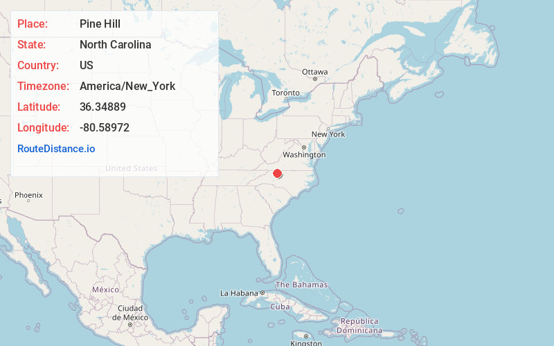
Full AddressPine Hill, NC 27007
-
Coordinates36.34889, -80.58972
-
LocationPine Hill , North Carolina , US
-
TimezoneAmerica/New_York
-
Current Local Time12:27:47 AM America/New_YorkTuesday, June 10, 2025
-
Page Views0
About Pine Hill
Pine Hill is an unincorporated community in the Eldora Township of Surry County, North Carolina, United States. The community is centered on the intersection of Eldora Road/Quaker Church Road and North Carolina Highway 268. Prominent landmarks in the community include the Pine Hill Friends Meeting and cemetery.
Nearby Places
Found 10 places within 50 miles

Stony Knoll
5.3 mi
8.5 km
Stony Knoll, NC 27017
Get directions
White Plains
7.1 mi
11.4 km
White Plains, NC 27030
Get directions

Pilot Mountain
7.2 mi
11.6 km
Pilot Mountain, NC 27041
Get directions
Smithtown
7.8 mi
12.6 km
Smithtown, NC 27018
Get directions

Dobson
8.1 mi
13.0 km
Dobson, NC
Get directions

Pinnacle
8.8 mi
14.2 km
Pinnacle, NC 27043
Get directions
Union Grove
9.8 mi
15.8 km
Union Grove, NC 27055
Get directions

East Bend
10.1 mi
16.3 km
East Bend, NC 27018
Get directions

Boonville
10.4 mi
16.7 km
Boonville, NC 27011
Get directions

Mt Airy
10.5 mi
16.9 km
Mt Airy, NC 27030
Get directions
Location Links
Local Weather
Weather Information
Coming soon!
Location Map
Static map view of Pine Hill, North Carolina
Browse Places by Distance
Places within specific distances from Pine Hill
Short Distances
Long Distances
Click any distance to see all places within that range from Pine Hill. Distances shown in miles (1 mile ≈ 1.61 kilometers).