Distance to Pine Mountain Club, California

Calculating Your Route
Just a moment while we process your request...
Location Information
-
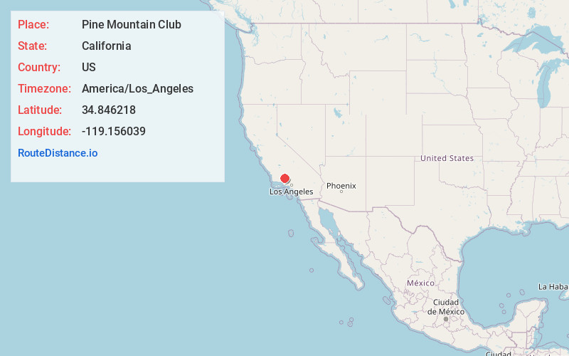
Full AddressPine Mountain Club, CA
-
Coordinates34.8462176, -119.1560394
-
LocationPine Mountain Club , California , US
-
TimezoneAmerica/Los_Angeles
-
Current Local Time5:19:42 PM America/Los_AngelesTuesday, June 3, 2025
-
Page Views0
About Pine Mountain Club
Pine Mountain Club is an unincorporated community in southwestern Kern County, California. As of the 2020 census it had a population of 2,422. For statistical purposes, the United States Census Bureau has defined Pine Mountain Club as a census-designated place. It is one of the Mountain Communities of the Tejon Pass.


Nearby Places
Found 10 places within 50 miles

Frazier Park
12.1 mi
19.5 km
Frazier Park, CA 93225
Get directions

South Taft
26.2 mi
42.2 km
South Taft, CA 93268
Get directions

Taft
26.6 mi
42.8 km
Taft, CA
Get directions
Ford City
27.3 mi
43.9 km
Ford City, CA 93268
Get directions

Ojai
28.0 mi
45.1 km
Ojai, CA 93023
Get directions

Meiners Oaks
28.5 mi
45.9 km
Meiners Oaks, CA 93023
Get directions
Mira Monte
29.4 mi
47.3 km
Mira Monte, CA
Get directions
Weedpatch
30.1 mi
48.4 km
Weedpatch, CA
Get directions

Arvin
30.6 mi
49.2 km
Arvin, CA 93203
Get directions

Lamont
31.7 mi
51.0 km
Lamont, CA
Get directions
Location Links
Local Weather
Weather Information
Coming soon!
Location Map
Static map view of Pine Mountain Club, California
Browse Places by Distance
Places within specific distances from Pine Mountain Club
Short Distances
Long Distances
Click any distance to see all places within that range from Pine Mountain Club. Distances shown in miles (1 mile ≈ 1.61 kilometers).