Distance to Pine Top, Florida

Calculating Your Route
Just a moment while we process your request...
Location Information
-
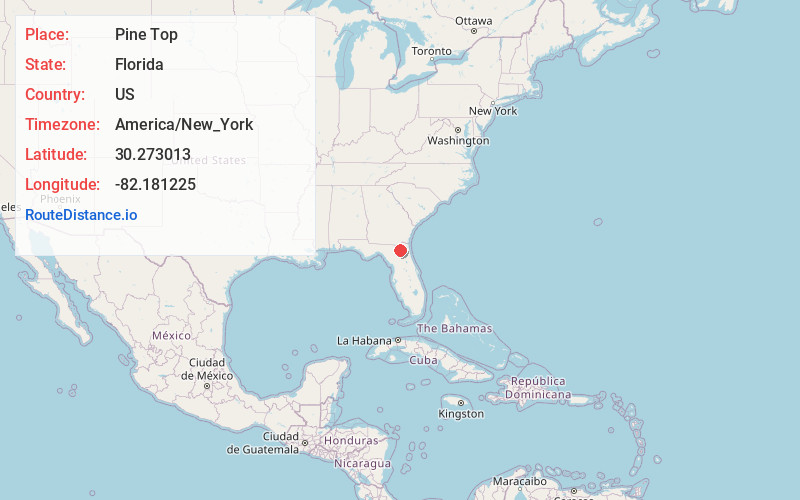
Full AddressPine Top, FL 32040
-
Coordinates30.2730132, -82.181225
-
LocationFlorida , US
-
TimezoneAmerica/New_York
-
Current Local Time10:59:34 AM America/New_YorkWednesday, June 4, 2025
-
Page Views0
Nearby Places
Found 10 places within 50 miles

Glen St Mary
1.2 mi
1.9 km
Glen St Mary, FL 32040
Get directions

Margaretta
2.4 mi
3.9 km
Margaretta, FL 32040
Get directions

Macclenny
3.6 mi
5.8 km
Macclenny, FL 32063
Get directions
Labuena
5.3 mi
8.5 km
Labuena, FL 32063
Get directions
McPherson
6.3 mi
10.1 km
McPherson, FL 32063
Get directions
Manning
6.8 mi
10.9 km
Manning, FL 32040
Get directions
Mattox
8.6 mi
13.8 km
Mattox, FL 32063
Get directions
Hugh
11.5 mi
18.5 km
Hugh, FL 32234
Get directions
Ellerbee
11.7 mi
18.8 km
Ellerbee, FL 32083
Get directions

Baldwin
12.5 mi
20.1 km
Baldwin, FL 32234
Get directions
Location Links
Local Weather
Weather Information
Coming soon!
Location Map
Static map view of Pine Top, Florida
Browse Places by Distance
Places within specific distances from Pine Top
Short Distances
Long Distances
Click any distance to see all places within that range from Pine Top. Distances shown in miles (1 mile ≈ 1.61 kilometers).