Distance to Pine Valley, Utah

Calculating Your Route
Just a moment while we process your request...
Location Information
-
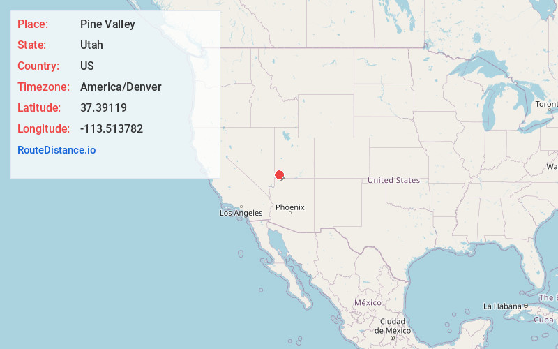
Full AddressPine Valley, UT 84781
-
Coordinates37.3911899, -113.5137821
-
LocationPine Valley , Utah , US
-
TimezoneAmerica/Denver
-
Current Local Time2:59:03 PM America/DenverFriday, May 30, 2025
-
Page Views0
About Pine Valley
Pine Valley is a census-designated place in north-central Washington County, Utah, United States that lies approximately 45 minutes north of the county seat, St. George. It is located at the head of the Santa Clara River in the Pine Valley Mountains, and was settled in 1859. The population was 186 at the 2010 census.


Nearby Places
Found 10 places within 50 miles

Central
6.3 mi
10.1 km
Central, UT 84722
Get directions

Veyo
10.5 mi
16.9 km
Veyo, UT 84782
Get directions

Dammeron Valley
10.6 mi
17.1 km
Dammeron Valley, UT 84783
Get directions

New Harmony
12.8 mi
20.6 km
New Harmony, UT
Get directions

Leeds
13.5 mi
21.7 km
Leeds, UT
Get directions

Toquerville
15.8 mi
25.4 km
Toquerville, UT
Get directions

Enterprise
16.9 mi
27.2 km
Enterprise, UT
Get directions

Ivins
17.9 mi
28.8 km
Ivins, UT
Get directions

Washington
18.0 mi
29.0 km
Washington, UT
Get directions

La Verkin
18.5 mi
29.8 km
La Verkin, UT 84745
Get directions
Location Links
Local Weather
Weather Information
Coming soon!
Location Map
Static map view of Pine Valley, Utah
Browse Places by Distance
Places within specific distances from Pine Valley
Short Distances
Long Distances
Click any distance to see all places within that range from Pine Valley. Distances shown in miles (1 mile ≈ 1.61 kilometers).