Distance to Pineville, Connecticut

Calculating Your Route
Just a moment while we process your request...
Location Information
-
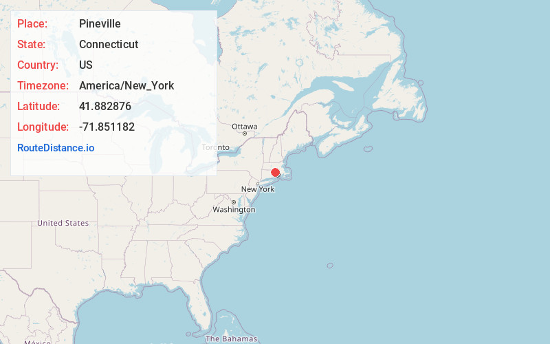
Full AddressPineville, Killingly, CT 06241
-
Coordinates41.882876, -71.8511824
-
LocationKillingly , Connecticut , US
-
TimezoneAmerica/New_York
-
Current Local Time6:32:19 PM America/New_YorkThursday, May 29, 2025
-
Page Views0

Nearby Places
Found 10 places within 50 miles

Killingly
3.2 mi
5.1 km
Killingly, CT
Get directions

Elmville
3.8 mi
6.1 km
Elmville, Killingly, CT 06239
Get directions
Quaddick
4.1 mi
6.6 km
Quaddick, Thompson, CT 06277
Get directions

Foster
5.2 mi
8.4 km
Foster, RI
Get directions
Roseland Park
7.1 mi
11.4 km
Roseland Park, Woodstock, CT 06281
Get directions

Danielson, CT
7.2 mi
11.6 km
Danielson, CT, CT
Get directions

Glocester
8.4 mi
13.5 km
Glocester, RI
Get directions
South Foster
8.6 mi
13.8 km
South Foster, Foster, RI 02825
Get directions

Burrillville
10.3 mi
16.6 km
Burrillville, RI
Get directions

Webster
11.6 mi
18.7 km
Webster, MA 01570
Get directions
Location Links
Local Weather
Weather Information
Coming soon!
Location Map
Static map view of Pineville, Connecticut
Browse Places by Distance
Places within specific distances from Pineville
Short Distances
Long Distances
Click any distance to see all places within that range from Pineville. Distances shown in miles (1 mile ≈ 1.61 kilometers).