Distance to Pintura, Utah

Calculating Your Route
Just a moment while we process your request...
Location Information
-
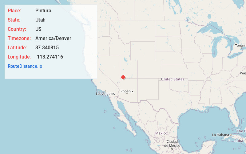
Full AddressPintura, UT 84774
-
Coordinates37.3408149, -113.2741158
-
LocationPintura , Utah , US
-
TimezoneAmerica/Denver
-
Current Local Time7:09:40 AM America/DenverSaturday, June 7, 2025
-
Page Views0
About Pintura
Pintura is an unincorporated community in northern Washington County, Utah, United States. Its peak population in the late 1800s was 150, and the community was named Bellevue until 1925.


Nearby Places
Found 10 places within 50 miles

Toquerville
6.1 mi
9.8 km
Toquerville, UT
Get directions

Leeds
8.5 mi
13.7 km
Leeds, UT
Get directions

La Verkin
9.4 mi
15.1 km
La Verkin, UT 84745
Get directions

New Harmony
9.8 mi
15.8 km
New Harmony, UT
Get directions

Virgin
10.3 mi
16.6 km
Virgin, UT
Get directions

Hurricane
11.5 mi
18.5 km
Hurricane, UT 84737
Get directions

Pine Valley
13.6 mi
21.9 km
Pine Valley, UT 84781
Get directions

Kanarraville
14.5 mi
23.3 km
Kanarraville, UT 84742
Get directions

Rockville
18.0 mi
29.0 km
Rockville, UT
Get directions

Apple Valley
18.2 mi
29.3 km
Apple Valley, UT 84737
Get directions
Location Links
Local Weather
Weather Information
Coming soon!
Location Map
Static map view of Pintura, Utah
Browse Places by Distance
Places within specific distances from Pintura
Short Distances
Long Distances
Click any distance to see all places within that range from Pintura. Distances shown in miles (1 mile ≈ 1.61 kilometers).