Distance to Pisgah, Iowa

Calculating Your Route
Just a moment while we process your request...
Location Information
-
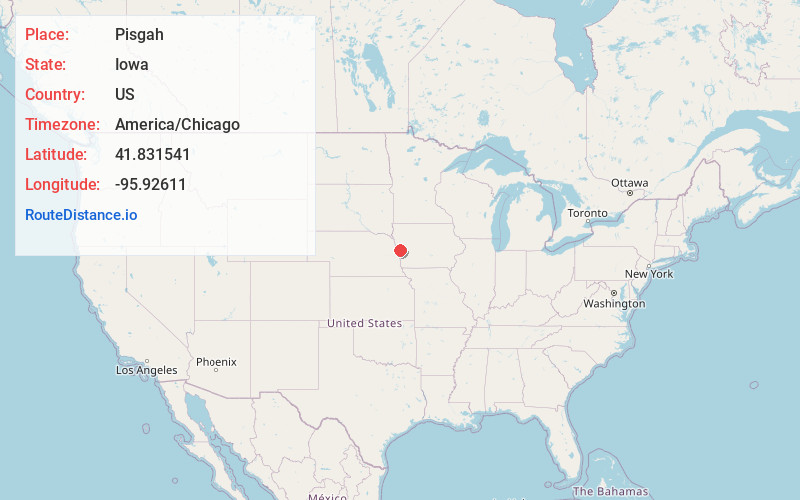
Full AddressPisgah, IA 51564
-
Coordinates41.8315407, -95.9261099
-
LocationPisgah , Iowa , US
-
TimezoneAmerica/Chicago
-
Current Local Time1:57:42 AM America/ChicagoFriday, June 20, 2025
-
Page Views0
About Pisgah
Pisgah is a city in Harrison County, Iowa, United States, along the Soldier River. The community is located in the midst of the Loess Hills.
The population was 249 at the time of the 2020 census.


Nearby Places
Found 10 places within 50 miles

Mondamin
9.7 mi
15.6 km
Mondamin, IA 51557
Get directions

Blencoe
10.5 mi
16.9 km
Blencoe, IA 51523
Get directions

Woodbine
13.3 mi
21.4 km
Woodbine, IA 51579
Get directions

Logan
14.8 mi
23.8 km
Logan, IA 51546
Get directions

Tekamah
15.6 mi
25.1 km
Tekamah, NE 68061
Get directions

Onawa
16.1 mi
25.9 km
Onawa, IA 51040
Get directions

Dunlap
16.8 mi
27.0 km
Dunlap, IA 51529
Get directions

Herman
18.5 mi
29.8 km
Herman, NE
Get directions

Ute
18.9 mi
30.4 km
Ute, IA 51060
Get directions

Missouri Valley
19.1 mi
30.7 km
Missouri Valley, IA 51555
Get directions
Location Links
Local Weather
Weather Information
Coming soon!
Location Map
Static map view of Pisgah, Iowa
Browse Places by Distance
Places within specific distances from Pisgah
Short Distances
Long Distances
Click any distance to see all places within that range from Pisgah. Distances shown in miles (1 mile ≈ 1.61 kilometers).