Distance to Platte River State Park, Nebraska

Calculating Your Route
Just a moment while we process your request...
Location Information
-
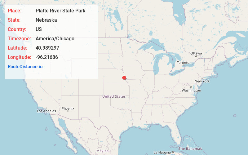
Full AddressPlatte River State Park, 14421 346th St, Louisville, NE 68037
-
Coordinates40.9892966, -96.2168602
-
Street14421 346th St
-
LocationLouisville , Nebraska , US
-
TimezoneAmerica/Chicago
-
Current Local Time3:17:51 AM America/ChicagoSaturday, June 7, 2025
-
Website
-
Page Views0
About Platte River State Park
Protected forestland offering outdoor activities plus seasonal accommodations in cabins and tepees.


Nearby Places
Found 10 places within 50 miles

South Bend
1.7 mi
2.7 km
South Bend, NE 68058
Get directions

Louisville
3.1 mi
5.0 km
Louisville, NE 68037
Get directions

Meadow
3.6 mi
5.8 km
Meadow, Platford-Springfield I Precinct, NE 68059
Get directions
Manley
5.5 mi
8.9 km
Manley, NE
Get directions

Murdock
5.5 mi
8.9 km
Murdock, NE 68407
Get directions

Cedar Creek
7.2 mi
11.6 km
Cedar Creek, NE 68037
Get directions
Wabash
7.4 mi
11.9 km
Wabash, NE 68407
Get directions
Springfield
7.7 mi
12.4 km
Springfield, NE 68059
Get directions
Beacon View
7.8 mi
12.6 km
Beacon View, NE
Get directions
Melia
8.1 mi
13.0 km
Melia, NE 68028
Get directions
Location Links
Local Weather
Weather Information
Coming soon!
Location Map
Static map view of Platte River State Park, Nebraska
Browse Places by Distance
Places within specific distances from Platte River State Park
Short Distances
Long Distances
Click any distance to see all places within that range from Platte River State Park. Distances shown in miles (1 mile ≈ 1.61 kilometers).