Distance to Pleak, Texas

Calculating Your Route
Just a moment while we process your request...
Location Information
-
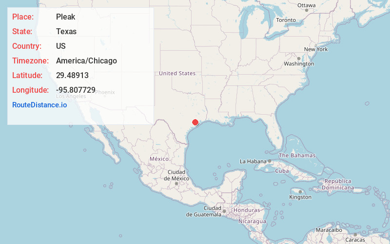
Full AddressPleak, TX
-
Coordinates29.4891295, -95.8077291
-
LocationPleak , Texas , US
-
TimezoneAmerica/Chicago
-
Current Local Time3:41:10 PM America/ChicagoThursday, July 3, 2025
-
Page Views0
About Pleak
Pleak is a village in Fort Bend County, Texas, United States, within the Houston–Sugar Land–Baytown metropolitan area. It is on Texas State Highway 36, south of Rosenberg. Its population was 971 at the 2020 census.
Nearby Places
Found 10 places within 50 miles

Rosenberg
4.7 mi
7.6 km
Rosenberg, TX
Get directions

Needville
6.5 mi
10.5 km
Needville, TX 77461
Get directions

Richmond
7.0 mi
11.3 km
Richmond, TX
Get directions

Pecan Grove
10.5 mi
16.9 km
Pecan Grove, TX 77406
Get directions

Sugar Land
13.5 mi
21.7 km
Sugar Land, TX
Get directions

Fulshear
14.9 mi
24.0 km
Fulshear, TX
Get directions

Four Corners
15.6 mi
25.1 km
Four Corners, TX
Get directions

East Bernard
16.1 mi
25.9 km
East Bernard, TX 77435
Get directions

Mission Bend
16.5 mi
26.6 km
Mission Bend, TX
Get directions

Meadows Place
17.3 mi
27.8 km
Meadows Place, TX 77477
Get directions
Location Links
Local Weather
Weather Information
Coming soon!
Location Map
Static map view of Pleak, Texas
Browse Places by Distance
Places within specific distances from Pleak
Short Distances
Long Distances
Click any distance to see all places within that range from Pleak. Distances shown in miles (1 mile ≈ 1.61 kilometers).