Distance to Pleasant Hill, South Carolina

Calculating Your Route
Just a moment while we process your request...
Location Information
-
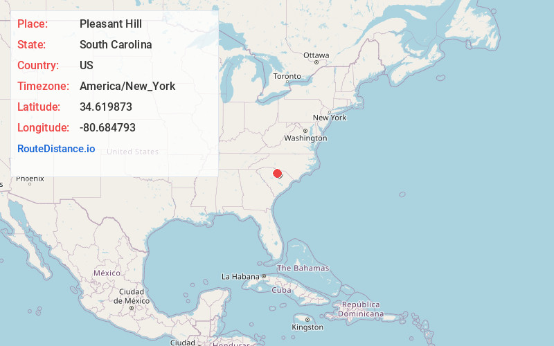
Full AddressPleasant Hill, SC 29058
-
Coordinates34.6198725, -80.684793
-
LocationPleasant Hill , South Carolina , US
-
TimezoneAmerica/New_York
-
Current Local Time8:38:35 AM America/New_YorkSaturday, June 14, 2025
-
Page Views0
About Pleasant Hill
Pleasant Hill is an unincorporated community located in Lancaster County, South Carolina, United States. The area consists of some businesses and churches lining US 521 and houses located along other roads in the area. A Lancaster and Chester Railroad line runs through Pleasant Hill.
Nearby Places
Found 10 places within 50 miles

Heath Springs
1.9 mi
3.1 km
Heath Springs, SC 29058
Get directions

Kershaw
7.4 mi
11.9 km
Kershaw, SC 29067
Get directions

White Bluff Crossroads
7.6 mi
12.2 km
White Bluff Crossroads, SC 29067
Get directions

Lancaster
8.5 mi
13.7 km
Lancaster, SC 29720
Get directions
Irwin
9.1 mi
14.6 km
Irwin, SC 29720
Get directions
Bell Town
9.2 mi
14.8 km
Bell Town, SC 29720
Get directions
Taxahaw
10.7 mi
17.2 km
Taxahaw, SC 29720
Get directions
Unity
12.3 mi
19.8 km
Unity, SC 29720
Get directions
Abney Crossroads
12.4 mi
20.0 km
Abney Crossroads, SC 29067
Get directions

Great Falls
12.7 mi
20.4 km
Great Falls, SC 29055
Get directions
Location Links
Local Weather
Weather Information
Coming soon!
Location Map
Static map view of Pleasant Hill, South Carolina
Browse Places by Distance
Places within specific distances from Pleasant Hill
Short Distances
Long Distances
Click any distance to see all places within that range from Pleasant Hill. Distances shown in miles (1 mile ≈ 1.61 kilometers).