Distance to Plowville, Pennsylvania

Calculating Your Route
Just a moment while we process your request...
Location Information
-
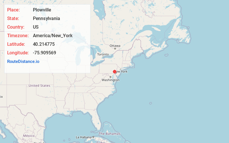
Full AddressPlowville, PA 19540
-
Coordinates40.214775, -75.909569
-
LocationPlowville , Pennsylvania , US
-
TimezoneAmerica/New_York
-
Current Local Time4:41:31 PM America/New_YorkWednesday, July 2, 2025
-
Page Views0
About Plowville
Plowville is an unincorporated area of Robeson Township, Berks County, Pennsylvania, United States. It is located on Pennsylvania Route 10, just east of Interstate 176. Its zip code is 19540 and the community is served by the Twin Valley School District. The most recognizable landmark is Plow Church.
Nearby Places
Found 10 places within 50 miles

Beckersville
1.1 mi
1.8 km
Beckersville, PA 19540
Get directions
Robeson Township
2.1 mi
3.4 km
Robeson Township, PA
Get directions
New Morgan
2.6 mi
4.2 km
New Morgan, PA 19543
Get directions
Scarlets Mill
3.2 mi
5.1 km
Scarlets Mill, Robeson Township, PA 19508
Get directions
Angelica
4.0 mi
6.4 km
Angelica, PA 19540
Get directions
Brecknock Township
4.0 mi
6.4 km
Brecknock Township, PA
Get directions

Morgantown
4.2 mi
6.8 km
Morgantown, PA 19543
Get directions

Flying Hills
4.3 mi
6.9 km
Flying Hills, PA 19607
Get directions

Caernarvon Township
4.3 mi
6.9 km
Caernarvon Township, PA
Get directions
Alleghenyville
4.4 mi
7.1 km
Alleghenyville, PA 19540
Get directions
Location Links
Local Weather
Weather Information
Coming soon!
Location Map
Static map view of Plowville, Pennsylvania
Browse Places by Distance
Places within specific distances from Plowville
Short Distances
Long Distances
Click any distance to see all places within that range from Plowville. Distances shown in miles (1 mile ≈ 1.61 kilometers).