Distance to Plumfield Landing, South Carolina

Calculating Your Route
Just a moment while we process your request...
Location Information
-
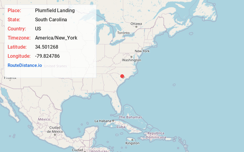
Full AddressPlumfield Landing, SC 29593
-
Coordinates34.5012679, -79.824786
-
LocationPlumfield Landing , South Carolina , US
-
TimezoneAmerica/New_York
-
Current Local Time9:49:17 PM America/New_YorkTuesday, May 27, 2025
-
Page Views0
Nearby Places
Found 10 places within 50 miles

Society Hill
1.7 mi
2.7 km
Society Hill, SC 29593
Get directions

Robbins Neck
2.8 mi
4.5 km
Robbins Neck, SC 29593
Get directions
Gandy
4.5 mi
7.2 km
Gandy, SC 29540
Get directions
Dyers Hill
6.7 mi
10.8 km
Dyers Hill, SC 29512
Get directions
Mont Clare
7.2 mi
11.6 km
Mont Clare, SC 29540
Get directions
Scott
7.9 mi
12.7 km
Scott, SC 29512
Get directions
Dovesville
7.9 mi
12.7 km
Dovesville, SC 29540
Get directions

Marlboro County
8.4 mi
13.5 km
Marlboro County, SC
Get directions
Cash
9.0 mi
14.5 km
Cash, SC 29520
Get directions
Drake
9.2 mi
14.8 km
Drake, SC 29516
Get directions
Location Links
Local Weather
Weather Information
Coming soon!
Location Map
Static map view of Plumfield Landing, South Carolina
Browse Places by Distance
Places within specific distances from Plumfield Landing
Short Distances
Long Distances
Click any distance to see all places within that range from Plumfield Landing. Distances shown in miles (1 mile ≈ 1.61 kilometers).