Distance to Dyers Hill, South Carolina

Calculating Your Route
Just a moment while we process your request...
Location Information
-
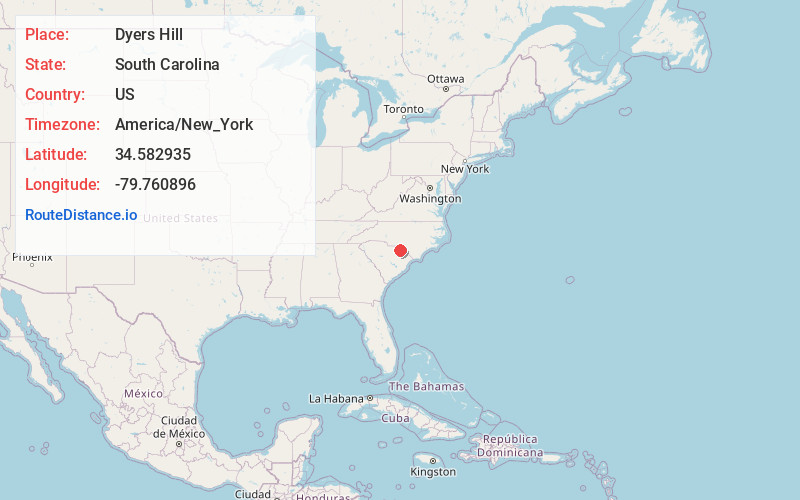
Full AddressDyers Hill, SC 29512
-
Coordinates34.5829347, -79.7608958
-
LocationDyers Hill , South Carolina , US
-
TimezoneAmerica/New_York
-
Current Local Time1:26:41 PM America/New_YorkSunday, June 1, 2025
-
Page Views0
Nearby Places
Found 10 places within 50 miles

Marlboro County
4.1 mi
6.6 km
Marlboro County, SC
Get directions
Bennettsville
4.9 mi
7.9 km
Bennettsville, SC 29512
Get directions

Scott
5.1 mi
8.2 km
Scott, SC 29512
Get directions
Monroe Crossroads
6.6 mi
10.6 km
Monroe Crossroads, SC 29516
Get directions

Society Hill
7.1 mi
11.4 km
Society Hill, SC 29593
Get directions
Montrose
7.3 mi
11.7 km
Montrose, SC 29520
Get directions
Breeden
7.6 mi
12.2 km
Breeden, SC 29512
Get directions
Cash
7.7 mi
12.4 km
Cash, SC 29520
Get directions
Chavistown
7.7 mi
12.4 km
Chavistown, SC 29512
Get directions

Blenheim
7.9 mi
12.7 km
Blenheim, SC
Get directions
Location Links
Local Weather
Weather Information
Coming soon!
Location Map
Static map view of Dyers Hill, South Carolina
Browse Places by Distance
Places within specific distances from Dyers Hill
Short Distances
Long Distances
Click any distance to see all places within that range from Dyers Hill. Distances shown in miles (1 mile ≈ 1.61 kilometers).